
“So, Janet, what’s your next adventure?” A popular question about which I have been asked many times. For awhile there I began to believe I could go on another expedition. I began researching the Amazon River and contacted my friends on Facebook who have paddled it already, namely Mark Kalch and West Hanson. Man oh man, what an awesome adventure THAT would be! Not only do I have an interest in South America, but to paddle the second longest river in the world??? Solo?! We are talking real-deal adventure! Too bad about the Class V+ white water on that 500-mile section…hmmm, do I REALLY want to risk my life? How could I ever pay for such a thing? How long will it take? How DO those adventurers DO it???
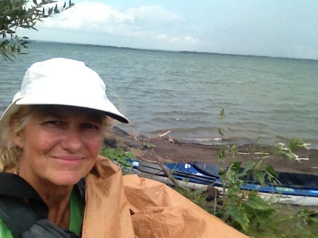
Back to reality. Spending 7.5 months on an expedition is costly. I am so thankful for my supporters along the way who carried me through financially, but the money hole that awaited me post-expedition was, or is, enormous. I left on my expedition with pocket change, and came home with the same.
That said, I began researching an adventure that was drifting around in the back of my mind, something I have always been interested in and have wanted to learn more about. I needed to find an adventure during which I could work and make some money. To begin my inquiry I made the initial phone call to the Lower Brule Sioux Indian Reservation School in south-central South Dakota. I wondered if they needed any teachers. This could be a cultural journey for which I could get paid while immersed in it. I had started the ball rolling, one that is currently moving right along at a pretty good clip. In fact, I will be moving to South Dakota next month to teach 6th-grade at the Lower Brule Day school. Now, ask me what my next adventure is going to be! 🙂
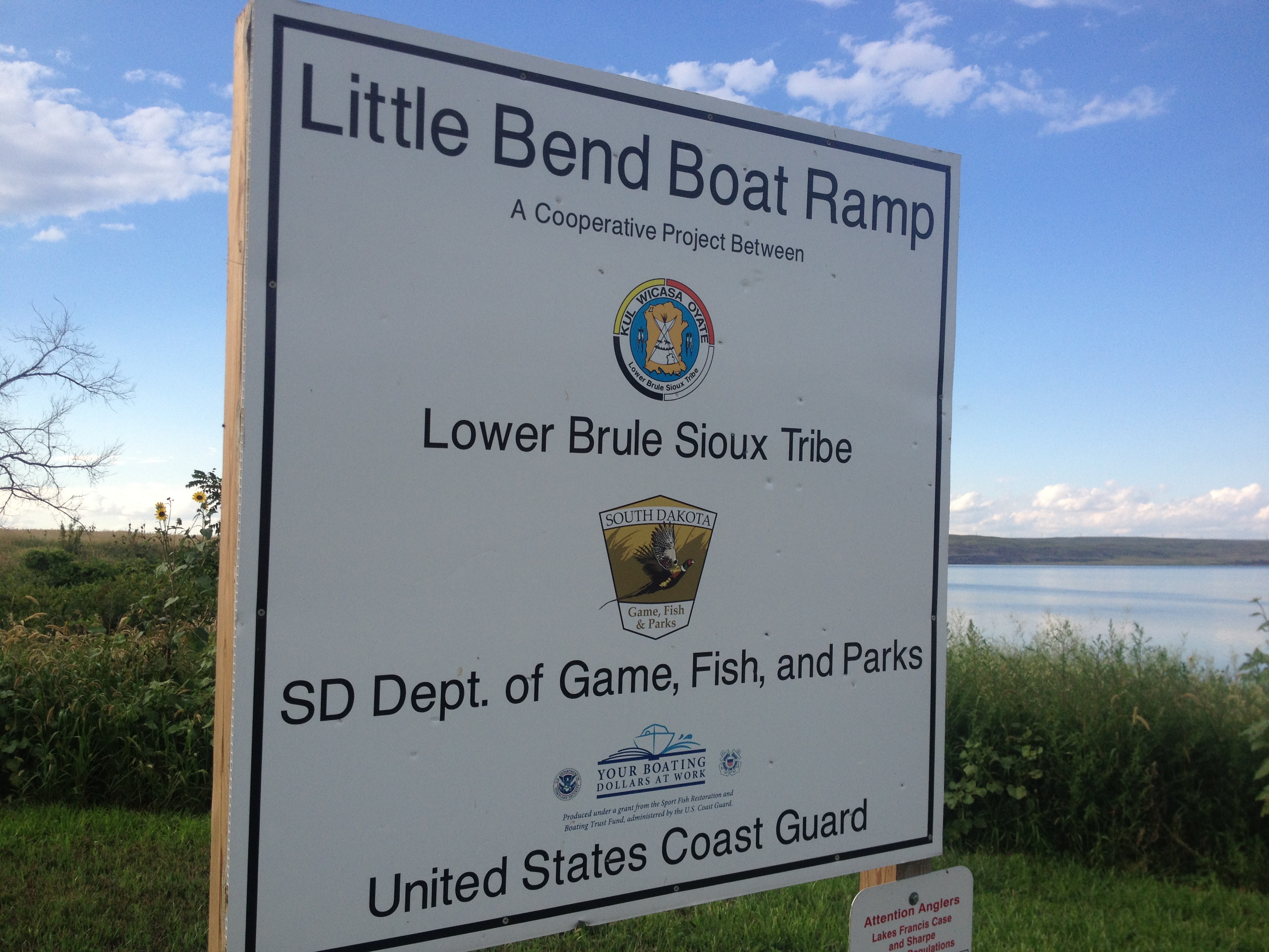


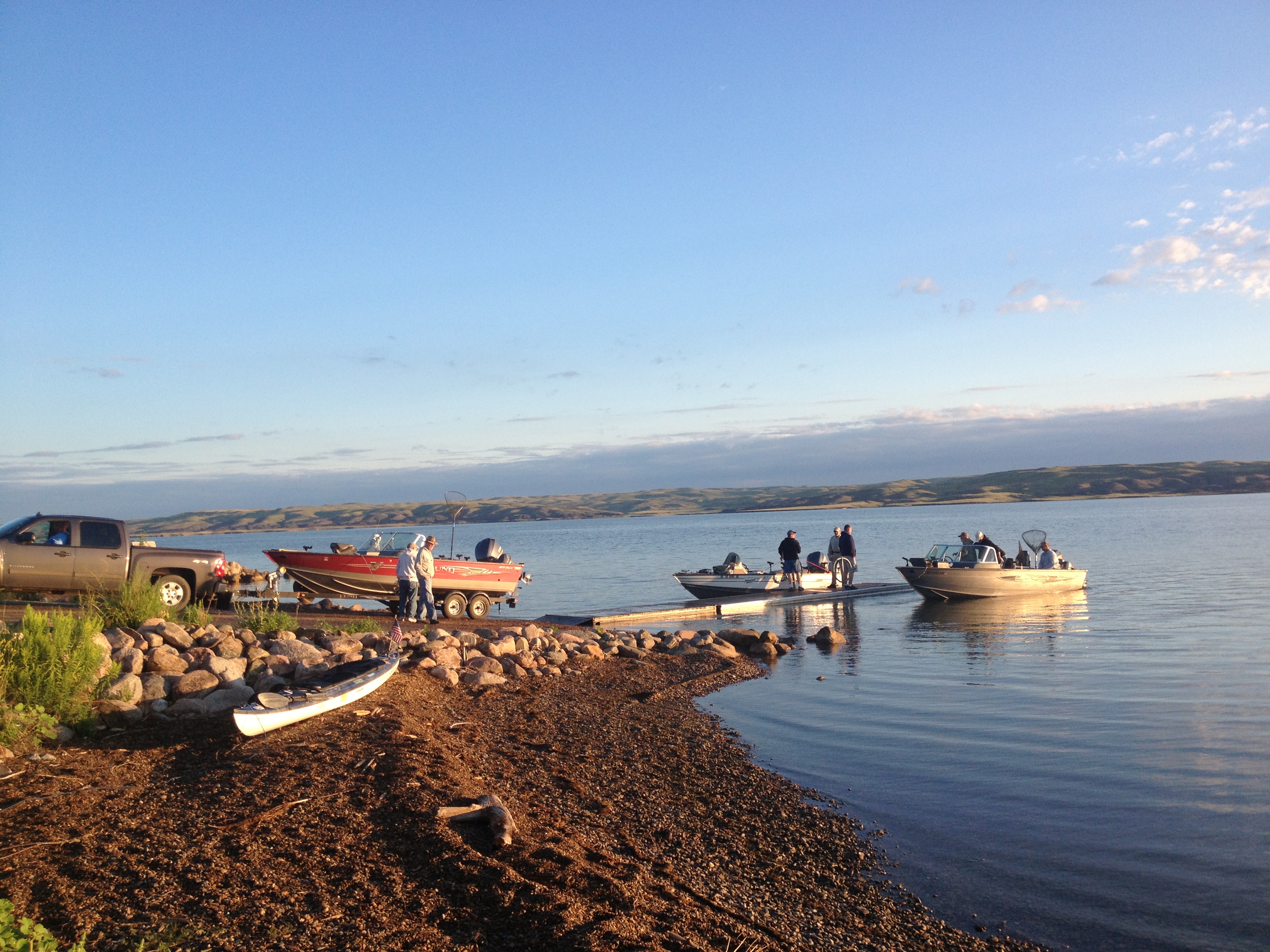
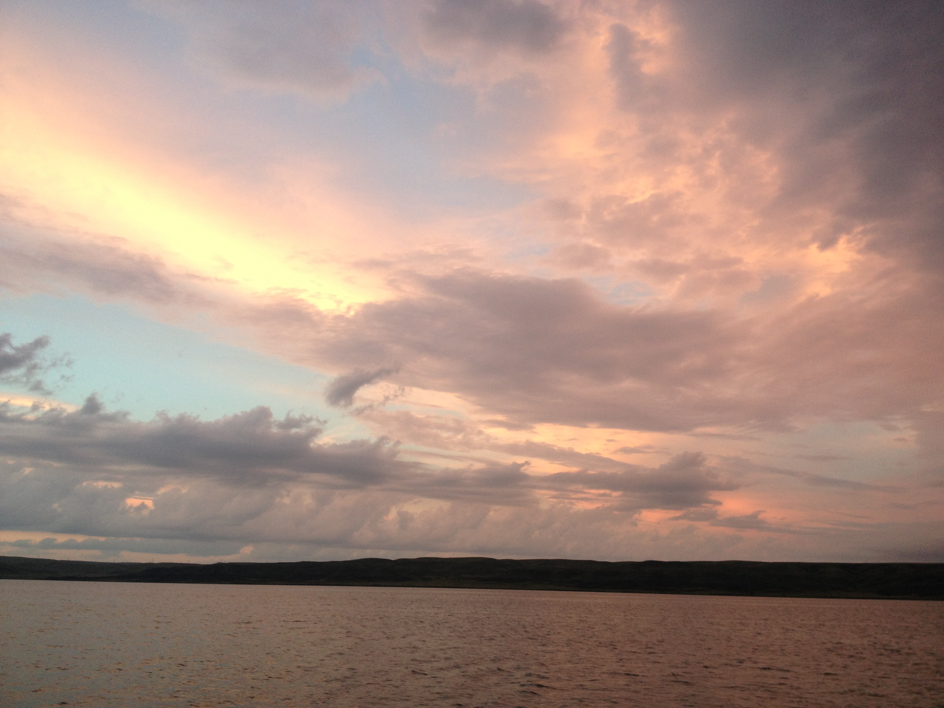
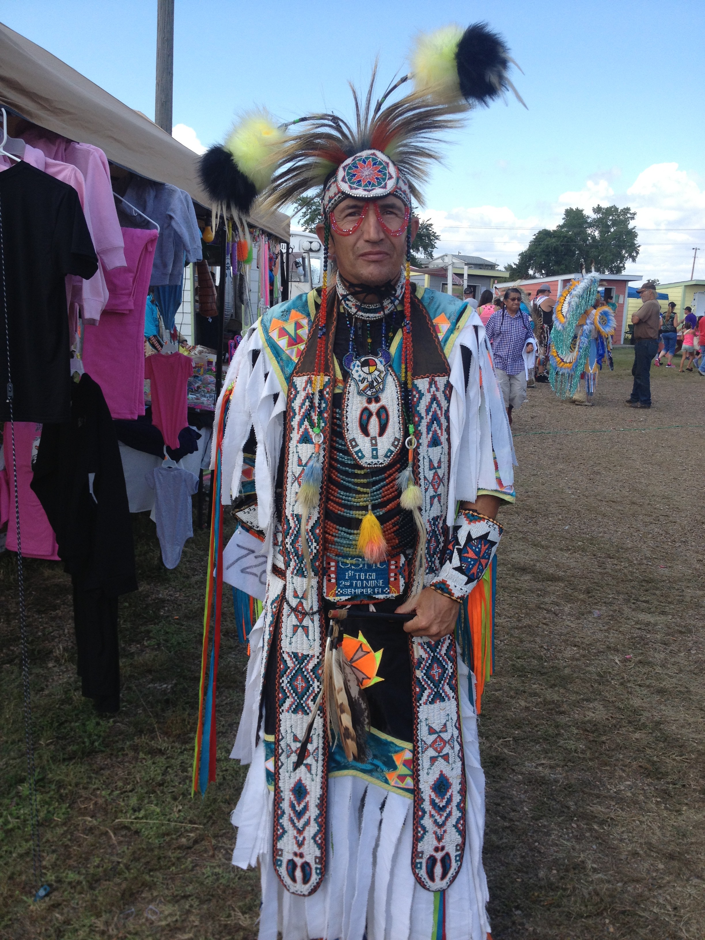
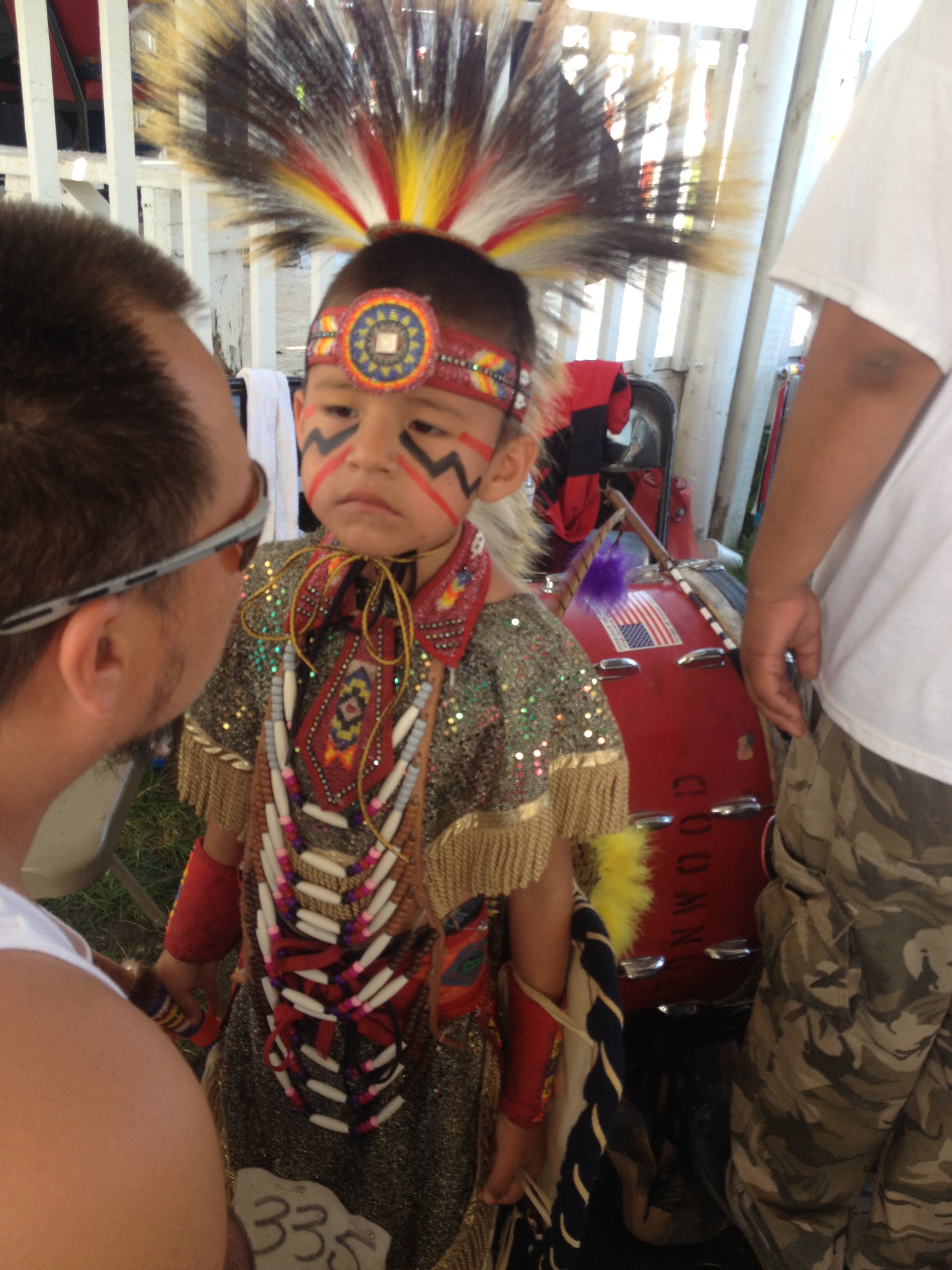
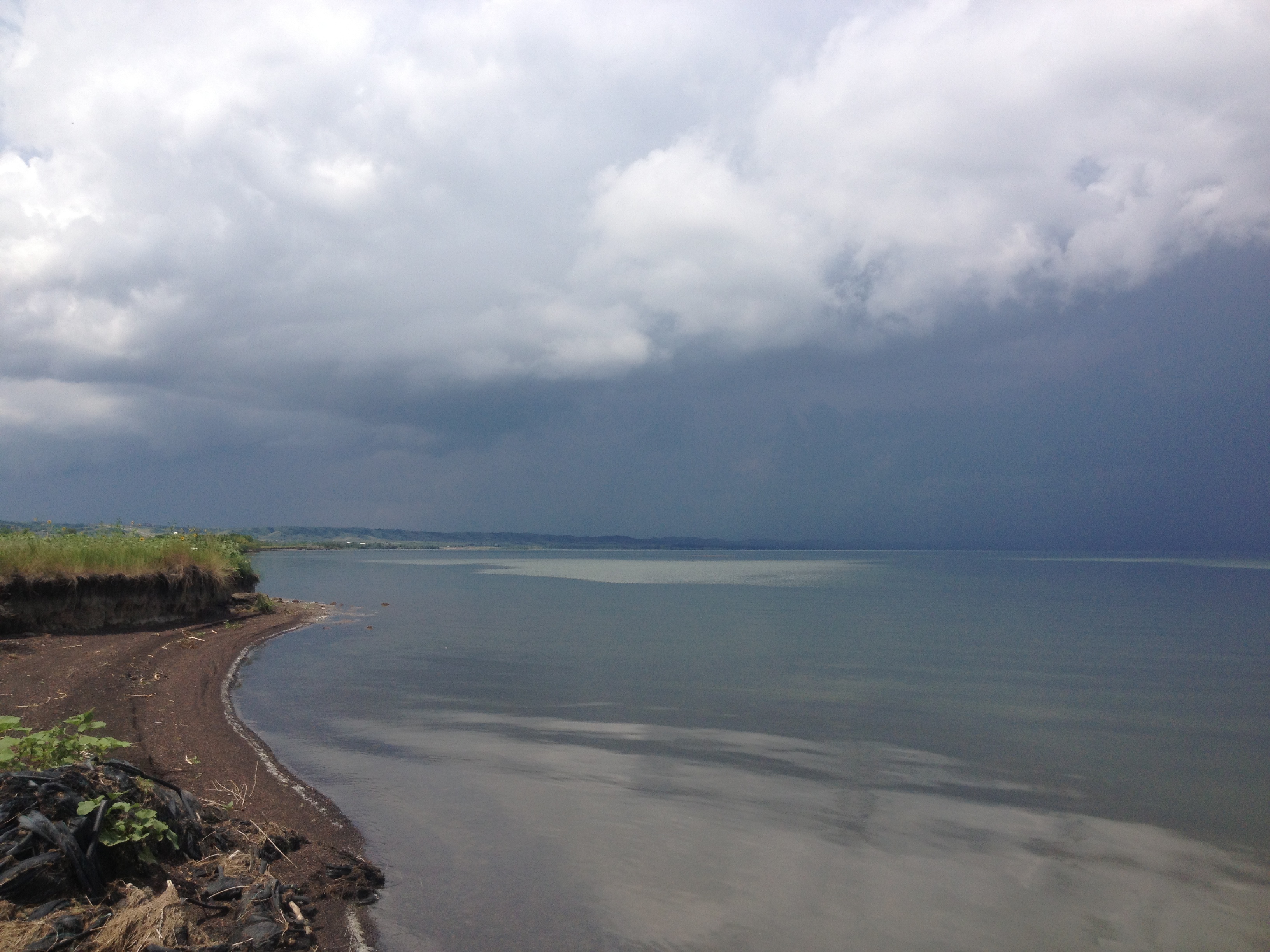
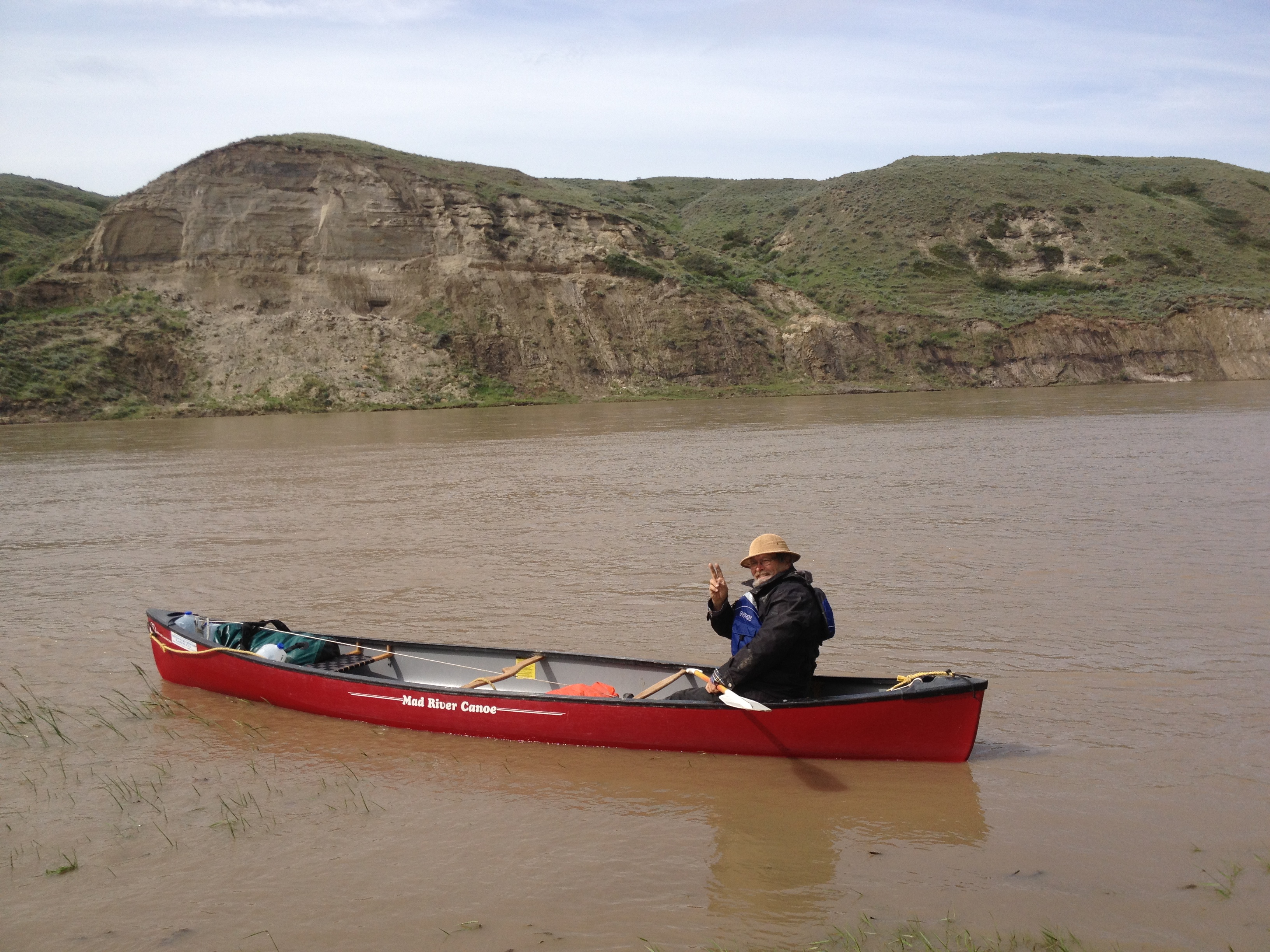
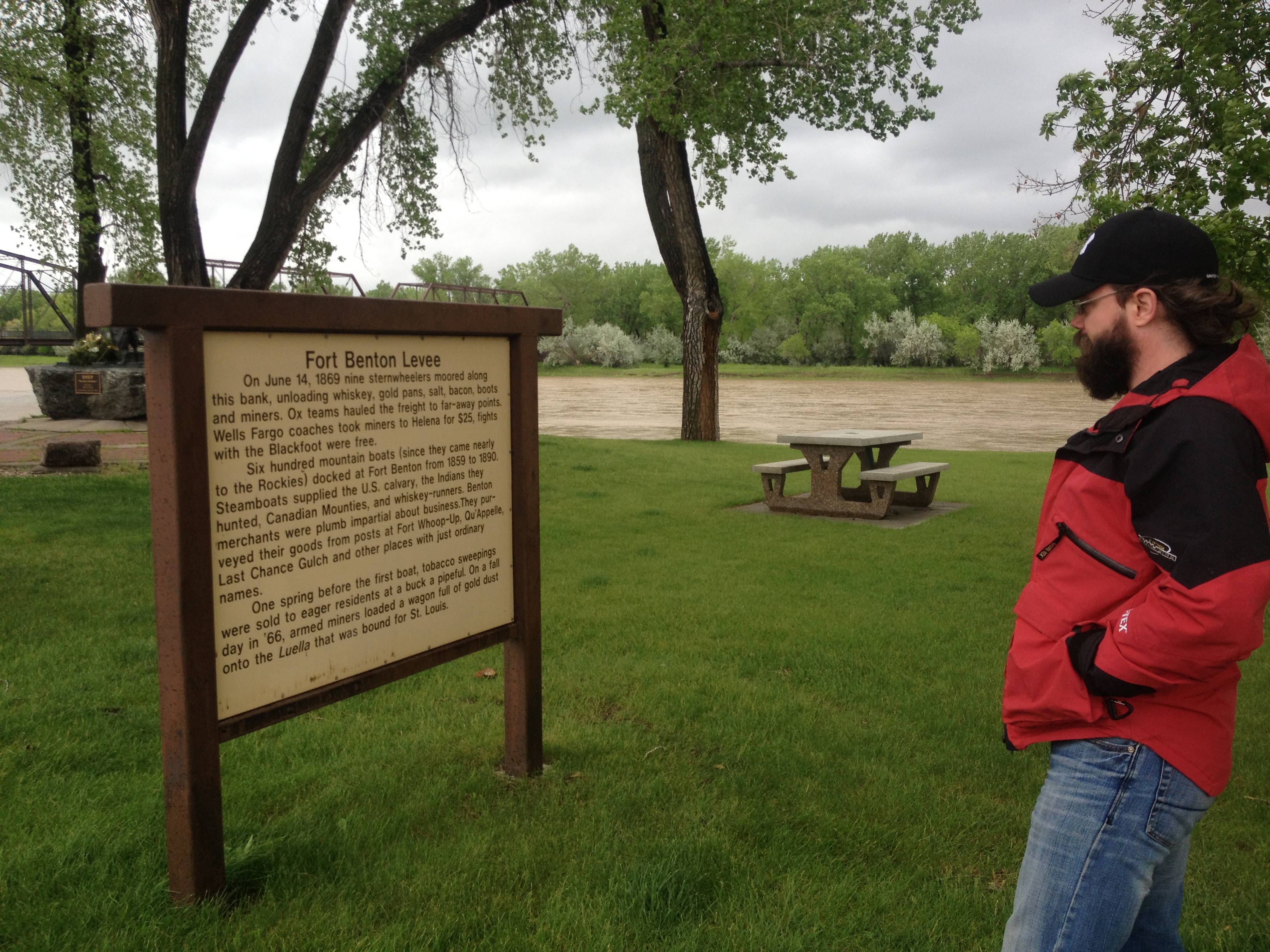
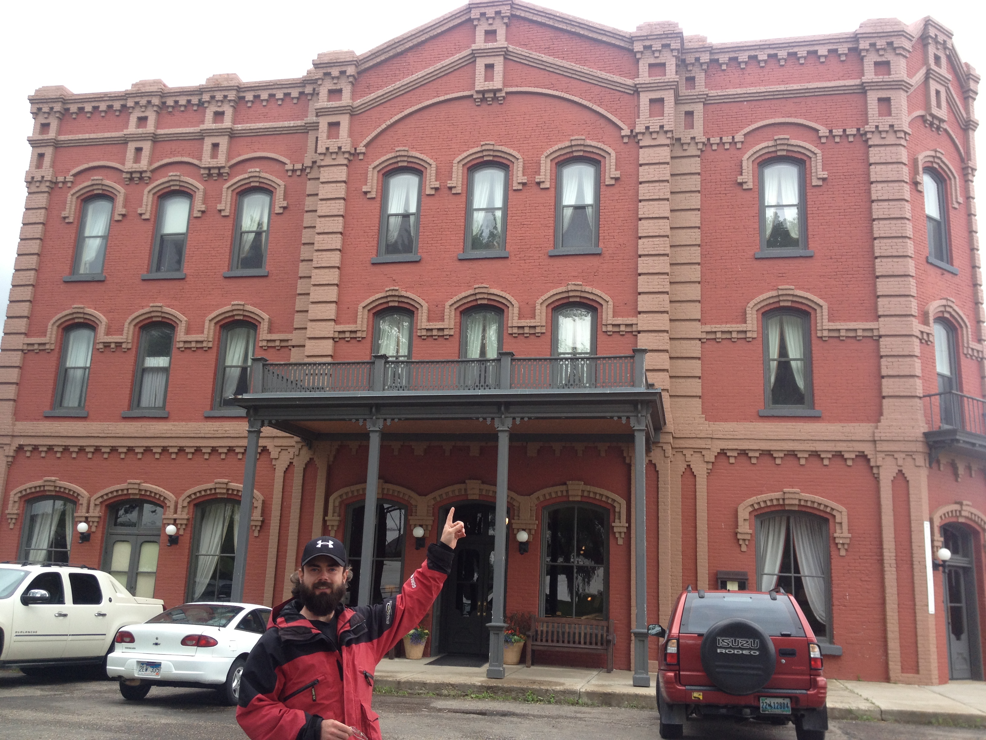
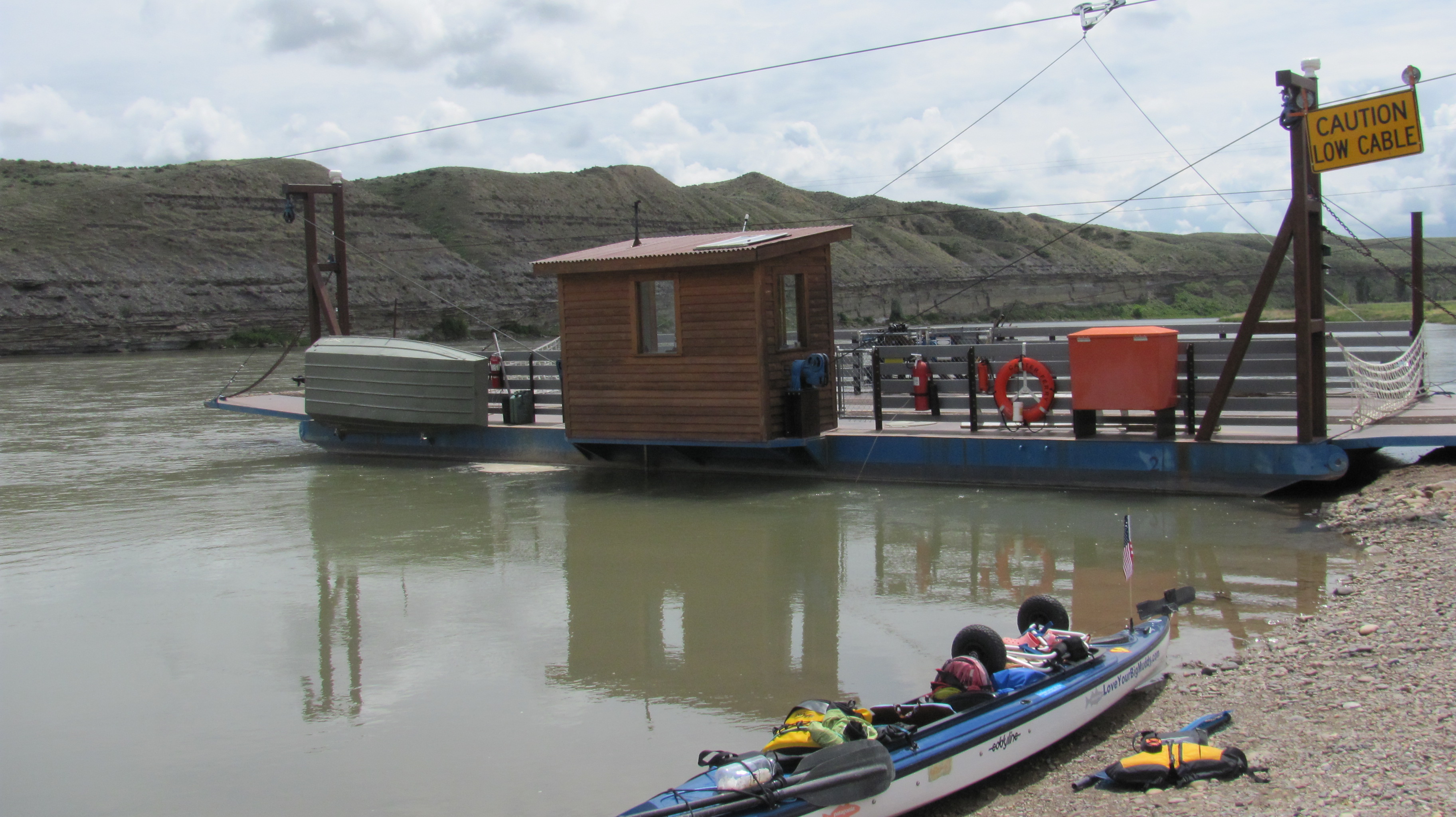
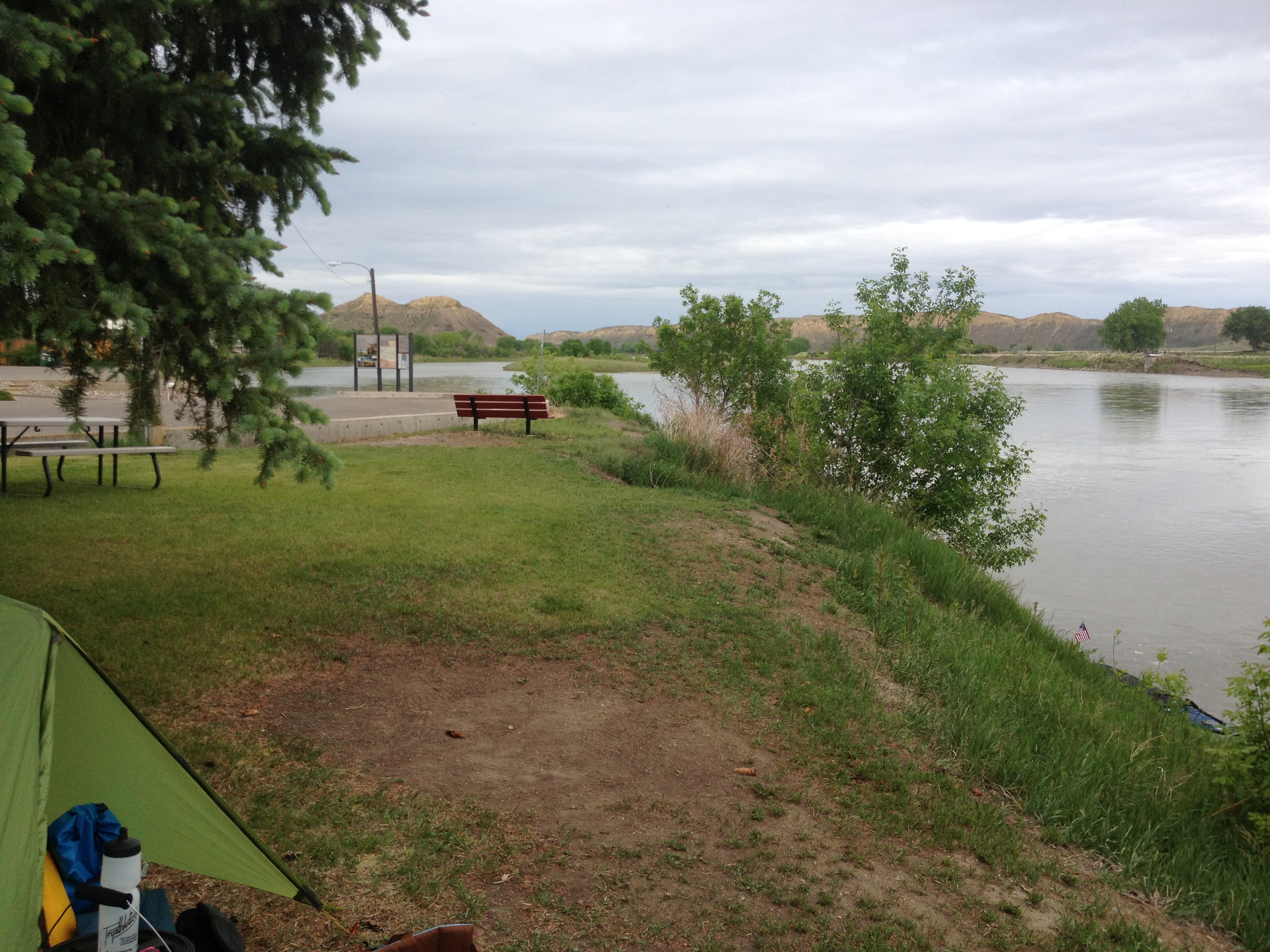
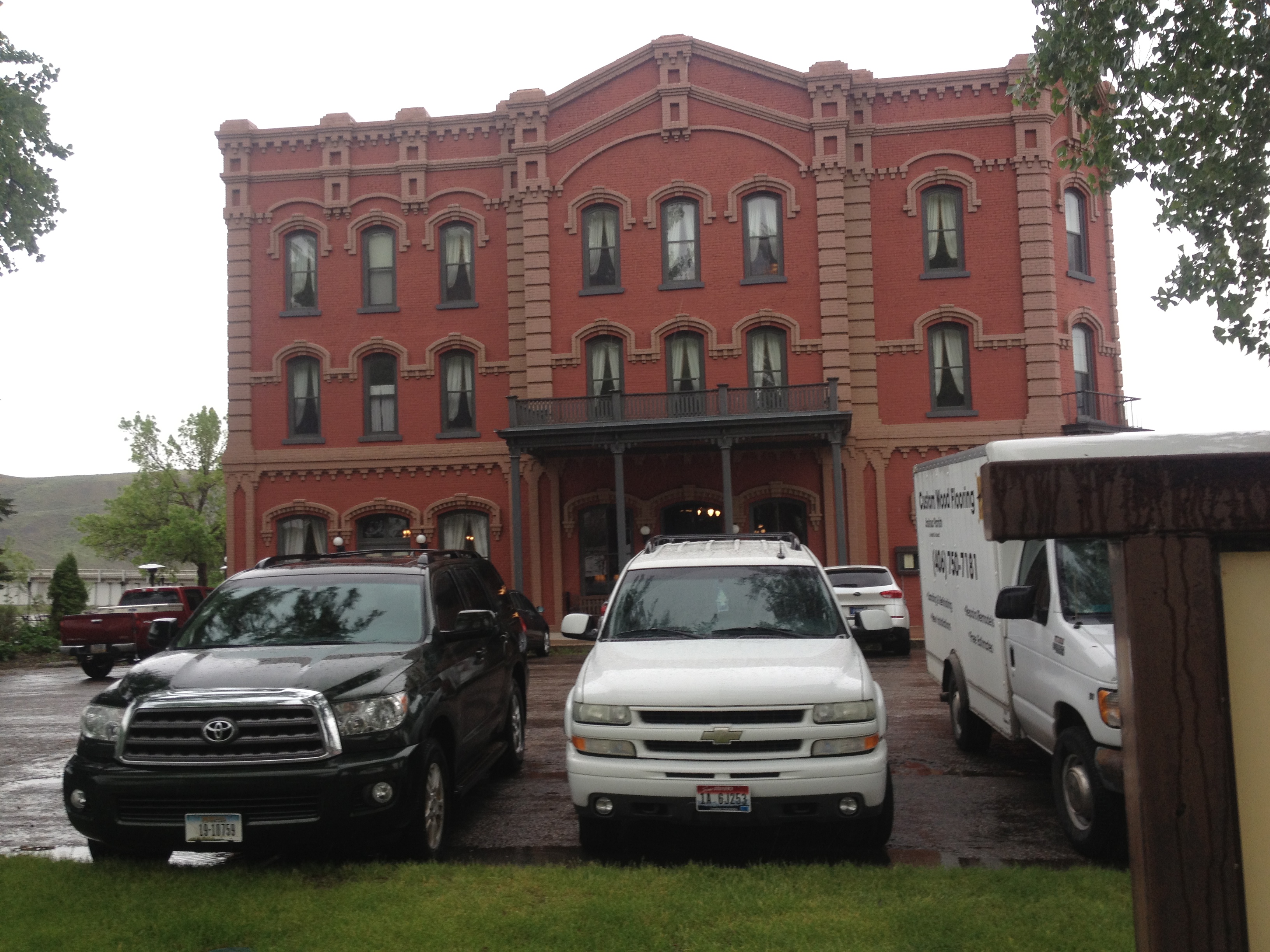
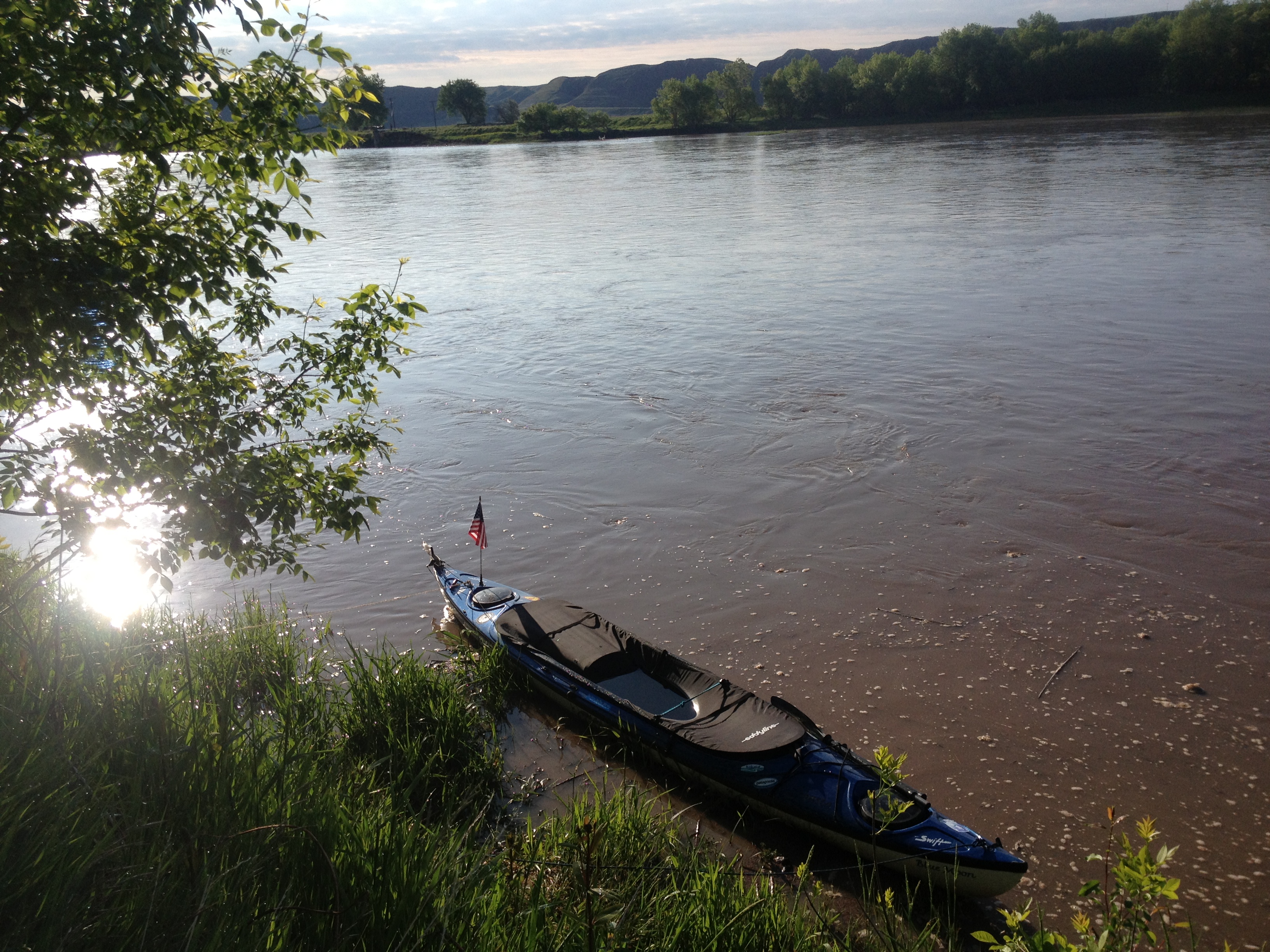
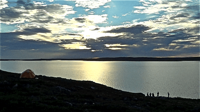
I visited Lower Brule Sioux reservation while on expedition. I landed in Chamberlain, South Dakota, on Thursday, August 9, 2013, which is downstream a few hours, below Big Bend Dam. My campsite was at the beautiful American Creek Campground located on the waterfront shore of Lake Francis Case. Jessica Giard was my river contact in Chamberlain, at that time the editor of the local town paper. We enjoyed each other’s company very much and made arrangements to drive to the Powwow at Lower Brule on Sunday, August 11, 2013.


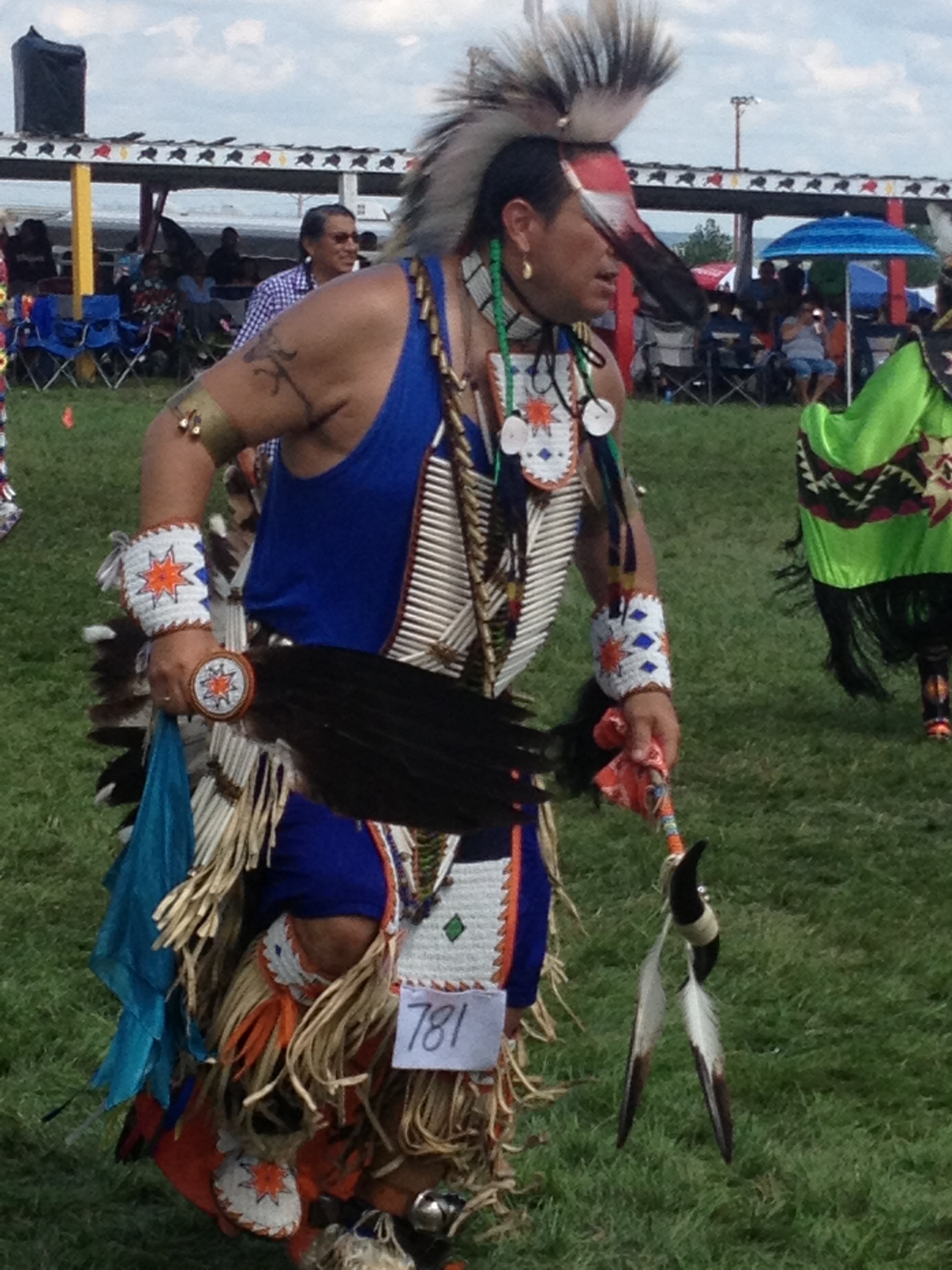
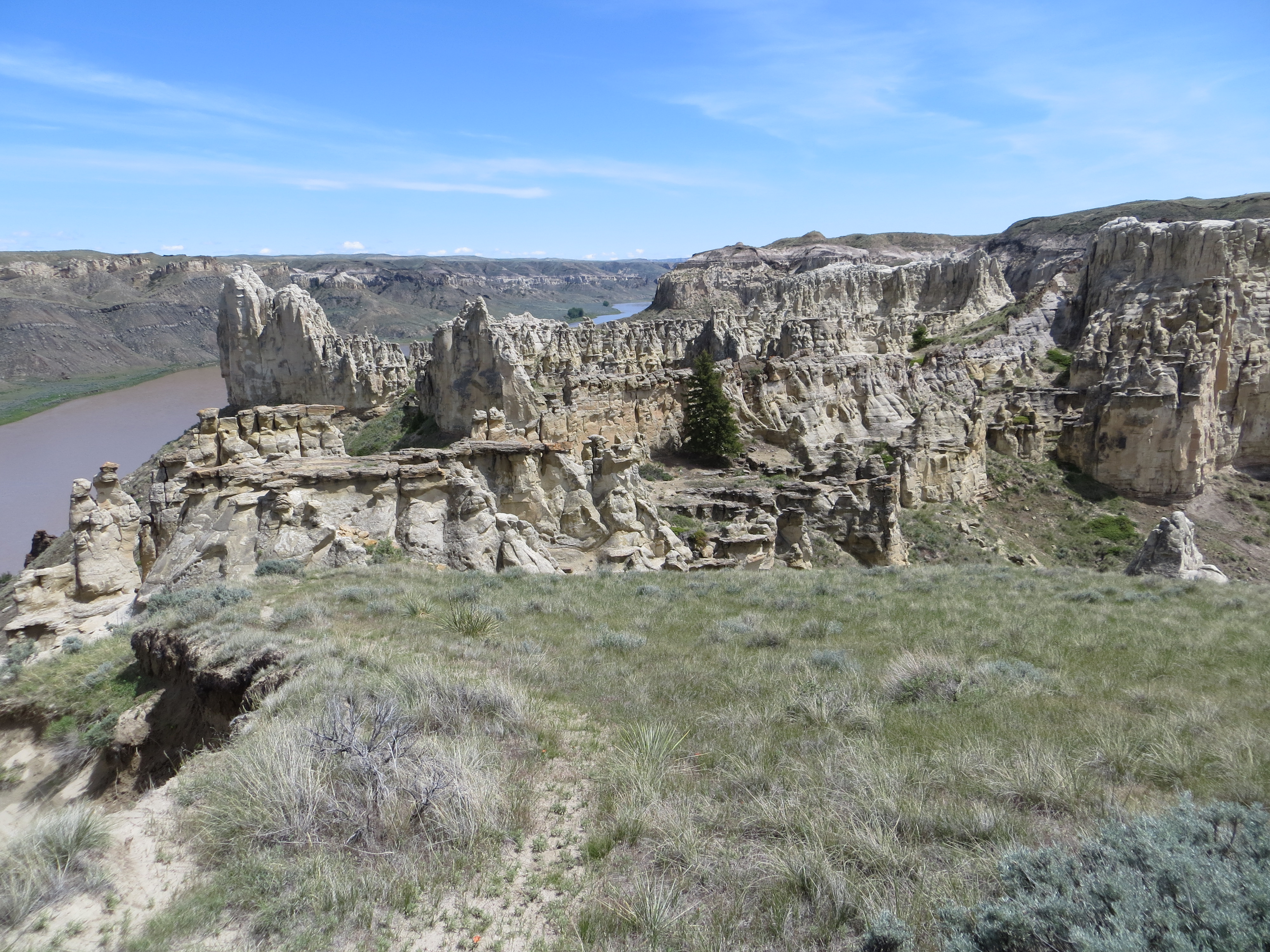
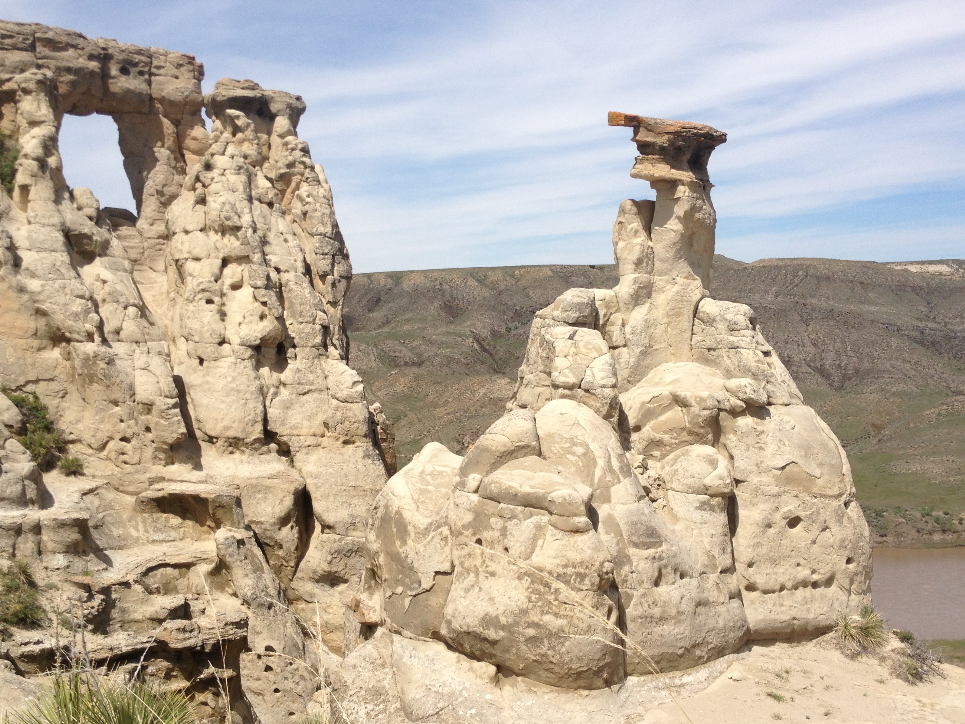
I was intrigued with the Powwow event and the display of American Indian culture. Lower Brule reservation is located right on the shores of Lake Sharpe. I took lots of photos, met some unique and interesting individuals, and thoroughly enjoyed the regalia, dancing and music at the event, the latter of which consisted of many different drum circles. This was a highlight of my expedition.


Lower Brule is reorganizing its school system to achieve sustainable success. The Tribal Council is working with AIII (A-Triple i), the American Indian Institute for Innovation, making uplifting and relevant changes to achieve post-secondary attendance by graduating high school students who will, ultimately, return to the reservation with their education, leadership skills and innovative ideas. The schools are hoping to achieve an increase in performance standards. I believe the changes in-progress will manifest success and benefits to the Lower Brule community.
Preferring not to commute the 30 minutes to Chamberlain to live, leaving school at the bell and returning at 7:00 AM, I asked the consulting team leading the reorganization if they could find me housing on the reservation. Indeed, they DID find for me a modest inexpensive home to rent just a few blocks from the school. I felt this arrangement was important for immersion with the community and building relationships.
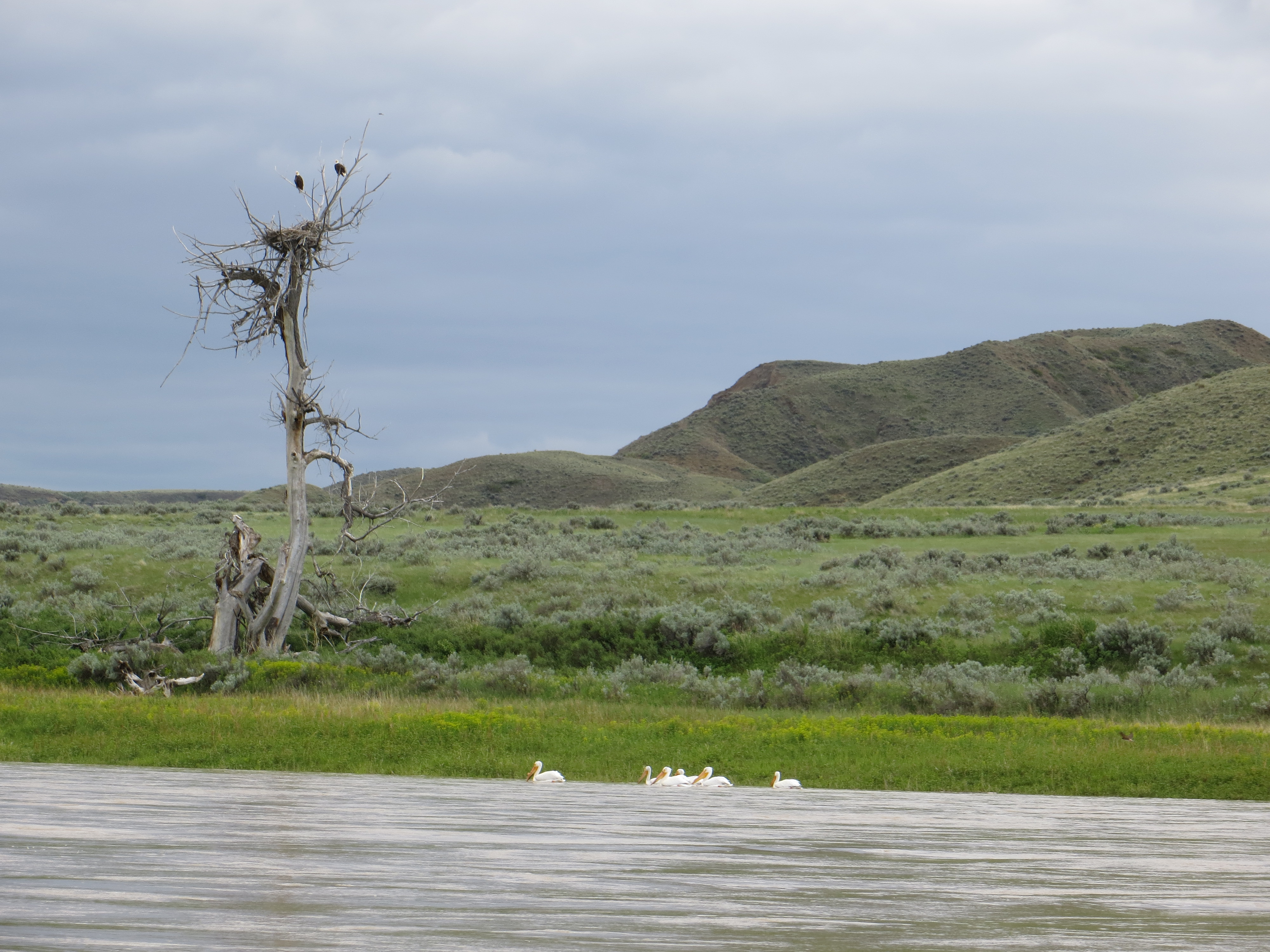
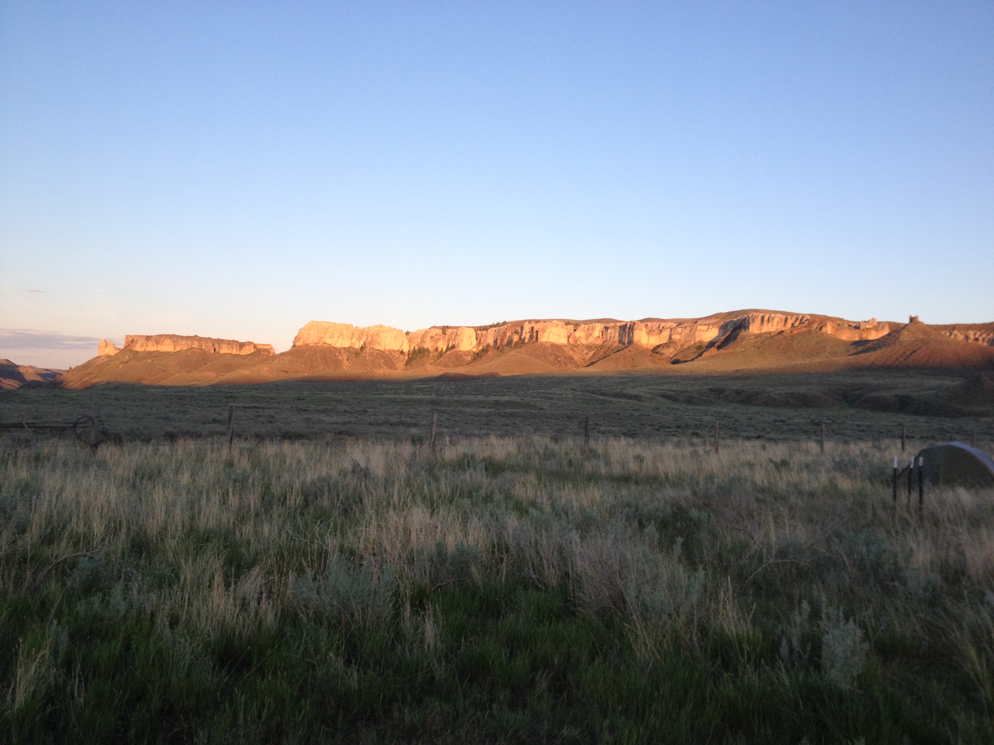
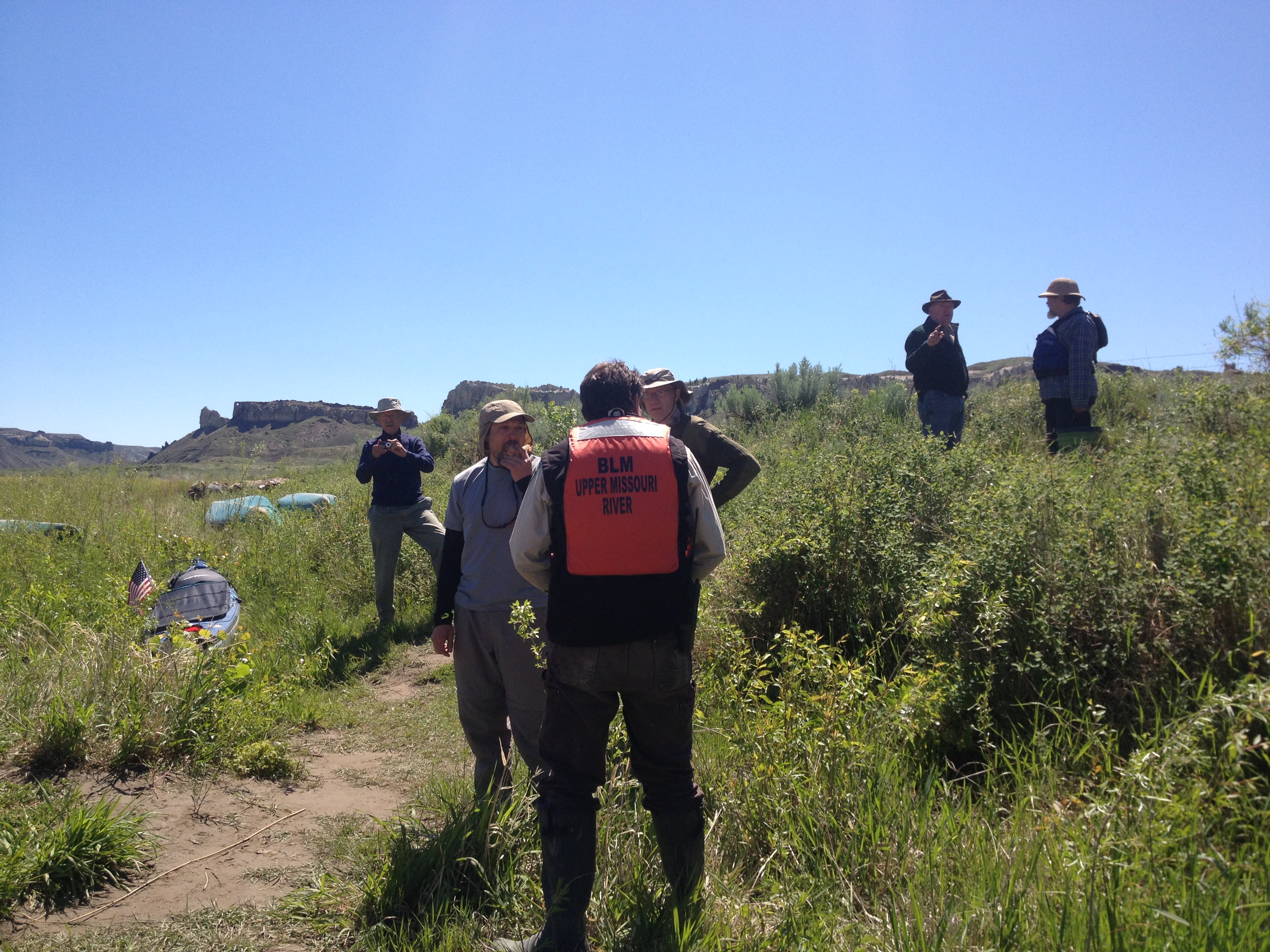
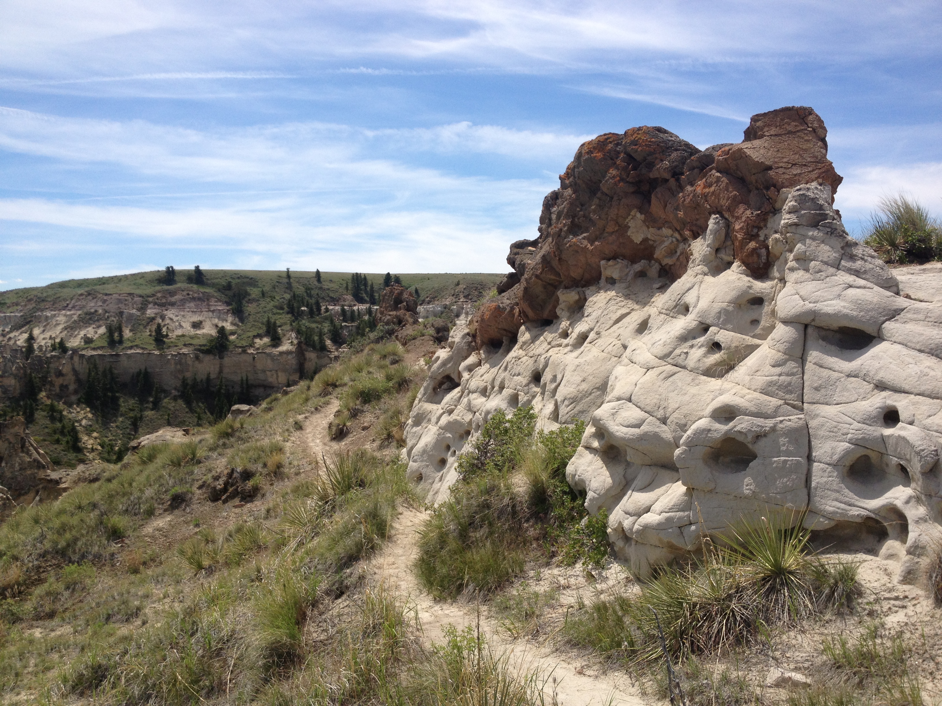
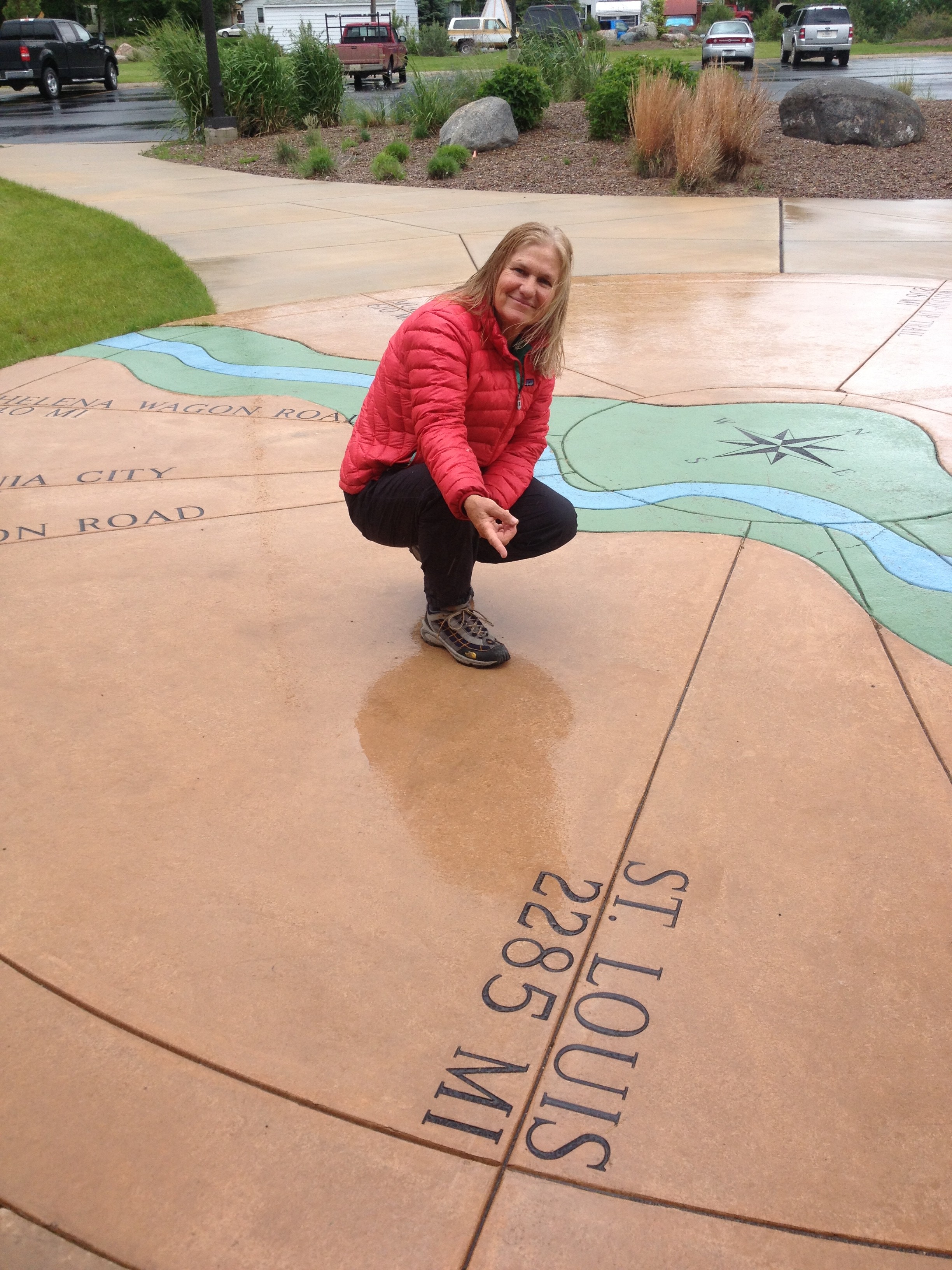
LoveYourBigMuddy Expedition was a life-changing journey like I never expected. After seven and one-half months living simply on the Missouri and Mississippi Rivers, I now know that my days will continue to be unique while trying to avoid ordinary affairs. Living life outside of the box is stimulating and rewarding. I refuse to melt into an armchair positioned in front of a television or a desk chair in front of a computer screen (well, maybe a little of the latter). Life is so short and at 57 years I can feel the pressure of time passing. So much to do and so little time!

The journey is not over until the mission bears fruit. The goals of LoveYourBigMuddy Expedition include 1) empowering youth (women and men) to confidently pursue their dreams and desires 2) conducting effective education in the natural environment, which includes bringing the Missouri River into the classroom and the classroom out to the river and 3) preparing the next generation for impactful stewardship of our nation’s waterways. Purposeful living embodies the spirit of adventure. Yep, that’s my story and I’m sticking to it.
Do what you love, and love what you do!
See you on the river!! syotr


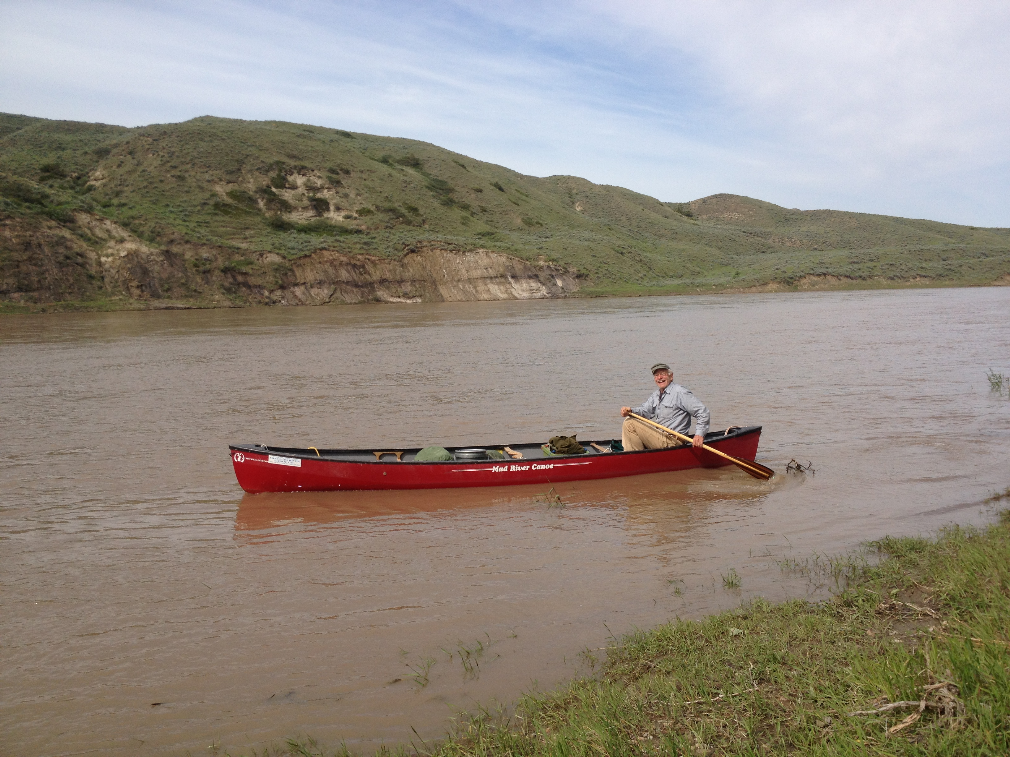


 “Big Muddy” Mike Clark is one of the most accomplished canoeists and guides in America. He has over 10,000 miles of big river experience and has led thousands of people in large and small groups on guided river trips since 2001. He has completed entire navigations of the Mississippi River (2001), Missouri River (2002, 2005-2006), Yellowstone River (2006), and Sunflower River (2004, 2005, 2007, 2008). He is the founder of Big Muddy Adventures. Michael is also a veteran elementary and middle school teacher and currently teaches computers, science and history part time at St. Ann Catholic School in Normandy, MO.