This trip is so fantastic, every day is a new adventure. However, the journey is so broad in scope that even I have to break it down into chunks, or categories, in order to write in my journal. Otherwise, I think to myself, where do I begin??
Some of the areas that this journey embraces are the wildlife, geology, geography, paddling, challenges, and social interactions (the awesome people I meet along the way). Because I want to capture all of the various aspects of each and every bend in the river, I have accumulated numerous photos to help document my experiences. Here is just a taste of this short section of my trip.
On June 1, I took off from Fort Benton after an enjoyable stay. I knew it would be an easy paddle to Coal Banks Landing, a launching point into the Upper Missouri Breaks National Monument. As with any day, though, I’m not always sure where will campsite will be for the night.
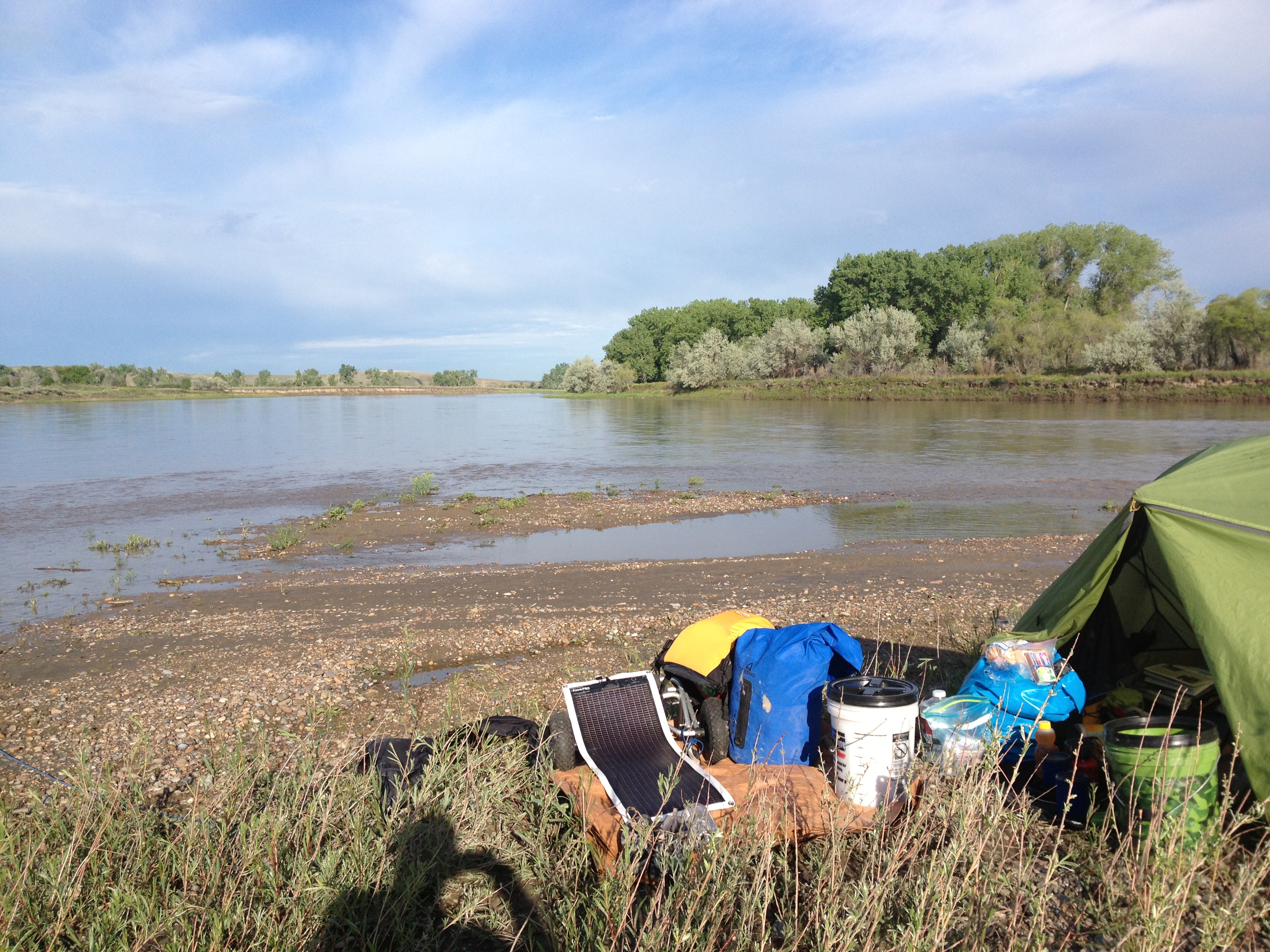
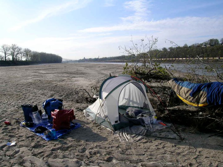
My camp between Fort Benton and Coal Banks, which is the developed campground right before entering the Upper Missouri River Breaks National Monument. I had to find a spot in a hurry because it was getting late. A little muddy, on the upriver point of an island, but level.
Tim was surprised, and somewhat startled, to find this, umm, artifact imbedded in the beach.
I found this skull right at the point of the island by my camp. Kind of disturbing. Found out later it is a bison skull, the bison likely finished off with a blow to the head, which was a common tactic among Native Americans back in the day.
I have fond memories of this campsite, despite the muddy beach, because of the 70’s music they were playing on the radio. Those were the days when the world open wide, and the anticipation of what could be was scintillating.
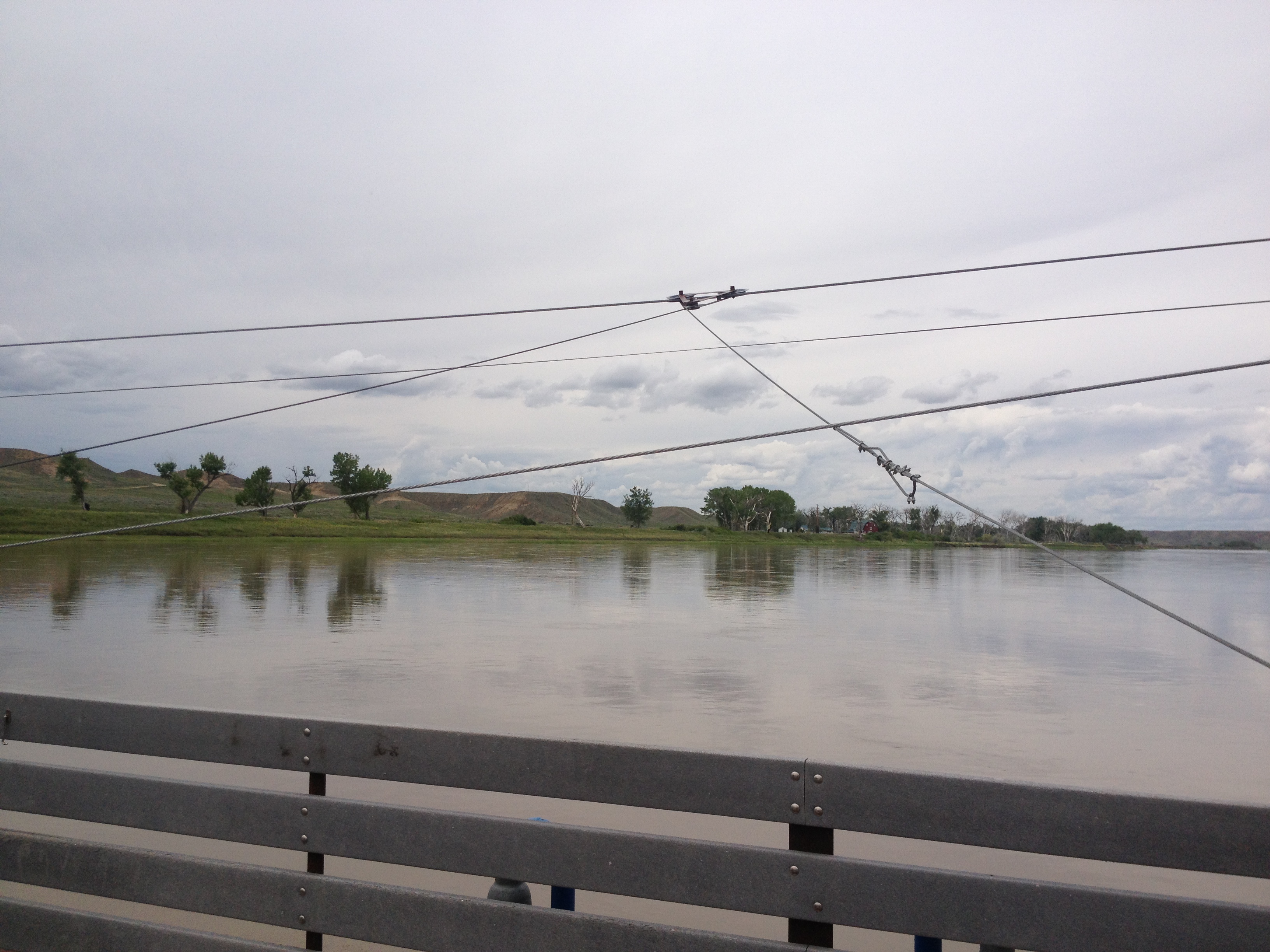
Further down I stopped at the Virgelle Ferry. An Indian man visiting America happened to be there and wanted to ride the ferry across and back. He asked me if I wanted to go, so I said, “sure”!
The gentleman from India and his son from Kansas City. The Indian man just wanted a ride, and asked me if I wanted to come along. Heck ya!The Virgelle FerryThe cables of the cable ferry, only one of six functioning in the world.Beautiful mountains and I’m not even in the Breaks, yet.
I arrived in Coal Banks after just a few hours the next day. Dominique Liboiron was coming to visit me there, since the location was close to his home in Saskatchewan, Canada. Last year, Dominique paddled from Saskatchewan to New Orleans in honor of his uncle who died of heart disease age the early age of 42. Dom carried his ashes to disperse in New Orleans, a city his uncle fell in love with.
So great to see Dominique again. When he was paddling on his expedition, he stopped at Cooper’s Landing, where we gained each others’ friendship right away.
It poured rain while he was there. He stayed two nights. One day we worked on a plan to get his canoe in Canada so he could paddle with me in the Breaks. Unfortunately, logistics proved to be too complicated, especially since James Kipp Recreation Area closed down due to flooding. So we went to Virgelle Landing and Fort Benton to have fun.
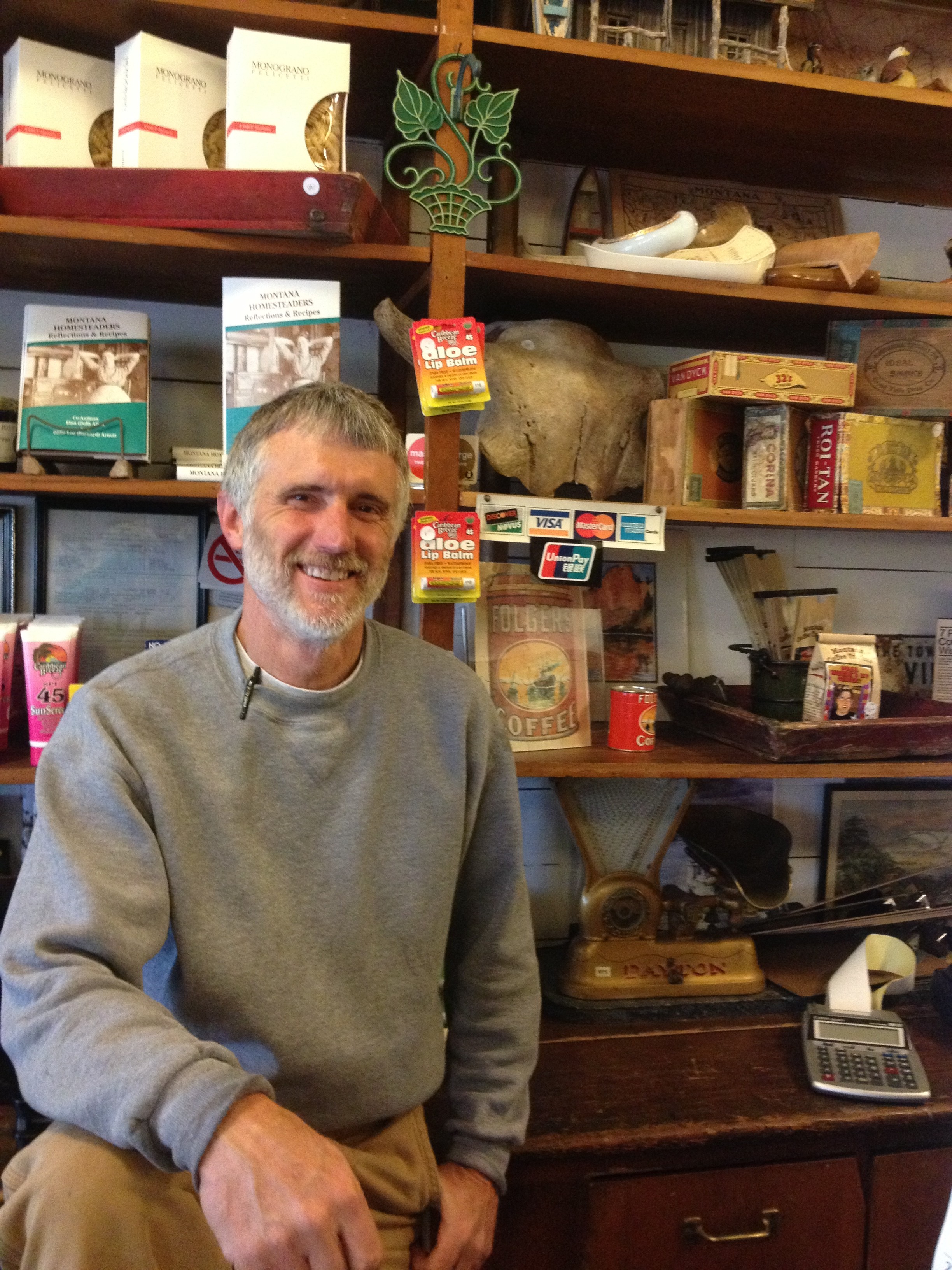
The Virgelle Mercantile. They also have an extensive antique store and run river shuttle and catering.Jim is one of the proprietors of Virgelle Mercantille and Antique and Canoe Service, along with Don. (Notice the bison skull in back on the shelf.)Don, partners with Jim, runs the Virgelle machine. We enjoyed talking with them about a lot of things such as river trips, paddling, cameras, BLM (Bureau of Land Management), and river clean-ups.Sandy cooks meals at the store and plays mom to all the men. She participated in a river clean up at Coal Banks, sponsored by Friends of the Breaks and Bureau of Land Management (BLM)
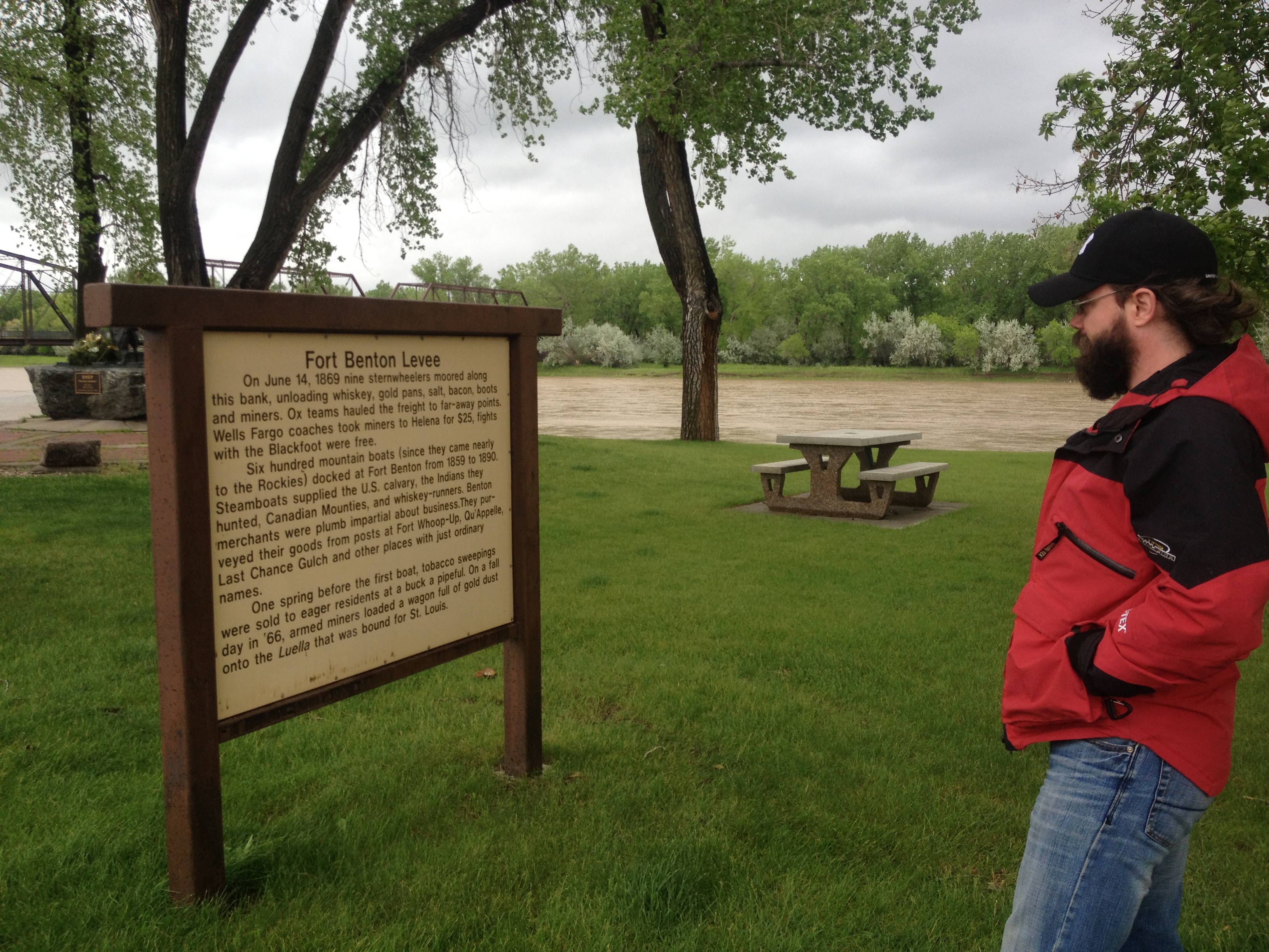
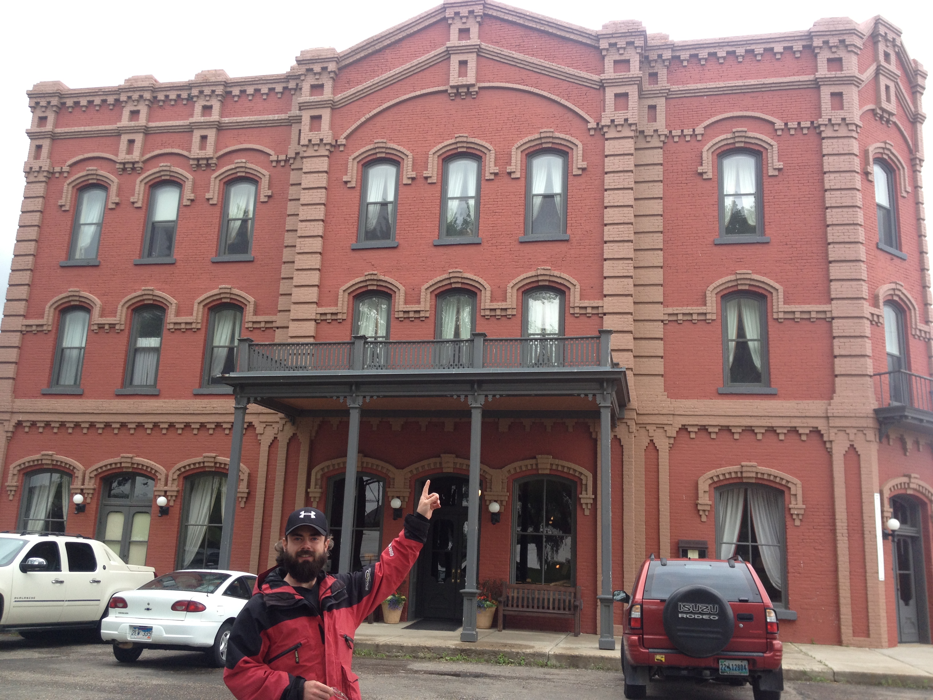
Once we determined that it was too difficult to organize a shuttle for Dominique, we decided to play tourist in Fort Benton. Dominique has wanted to go there for many years and, well, I was happy just to go with Dominique. He is such great company. We had a blast!
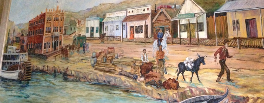
Grand Union HotelMural on the wall at the Grand Union
We stoped for lunch at the Palace Bar, where we met Sandy bartending. I dropped Dave Miller’s name,(the author of The Complete Paddler) and she remembered him, and apparently took good care of him. “I let him take a shower at my house.” When I mentioned that I hadn’t had a shower in a week, she insisted I go to her house and take one. Thank you, Sandy! I will never forget your sweet heart.
Sweet Sandy at the Palace Bar
After I went to Sandy’s house and took a shower, we stopped at the Missouri Breaks Interpretive Center. Unfortunately, they closed in five minutes, but I think we made the best of the situation.
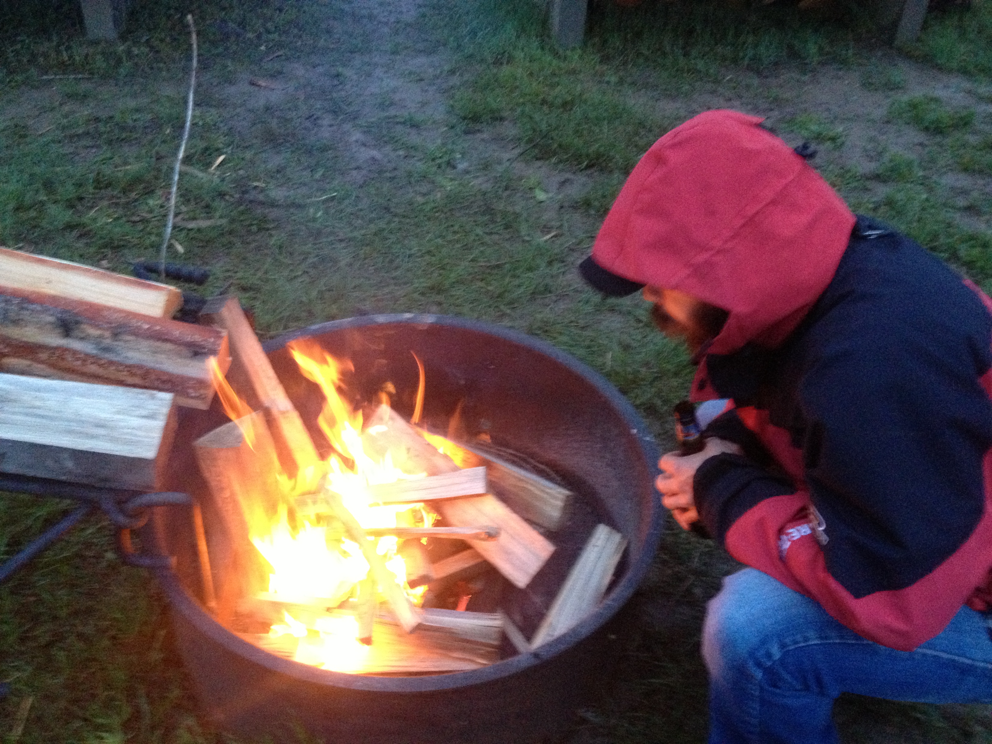
There it is again. I left my skull in the river where I found it. Seemed the appropriate thing to do.Outside the front of the Missouri Breaks Interpretive CenterDominique as Steamship Captain. Keep your eyes on the river, Captain, those snags will sink your ship!The wing span of a pelican. I have seen pelicans almost every day of my trip. They are a comfort and good company.Despite the rainy and wet conditions, we made a fire for warmth and comfort. Thanks to the campers next door who helped me haul their leftover wood over, chopped kindling, and wrapped paper up in plastic for me. And, gave me a lighter! So nice!Before leaving the next morning, Dominique left me with some wisdom and tips for the challenges ahead. He has been a wonderful friend and I will miss him.
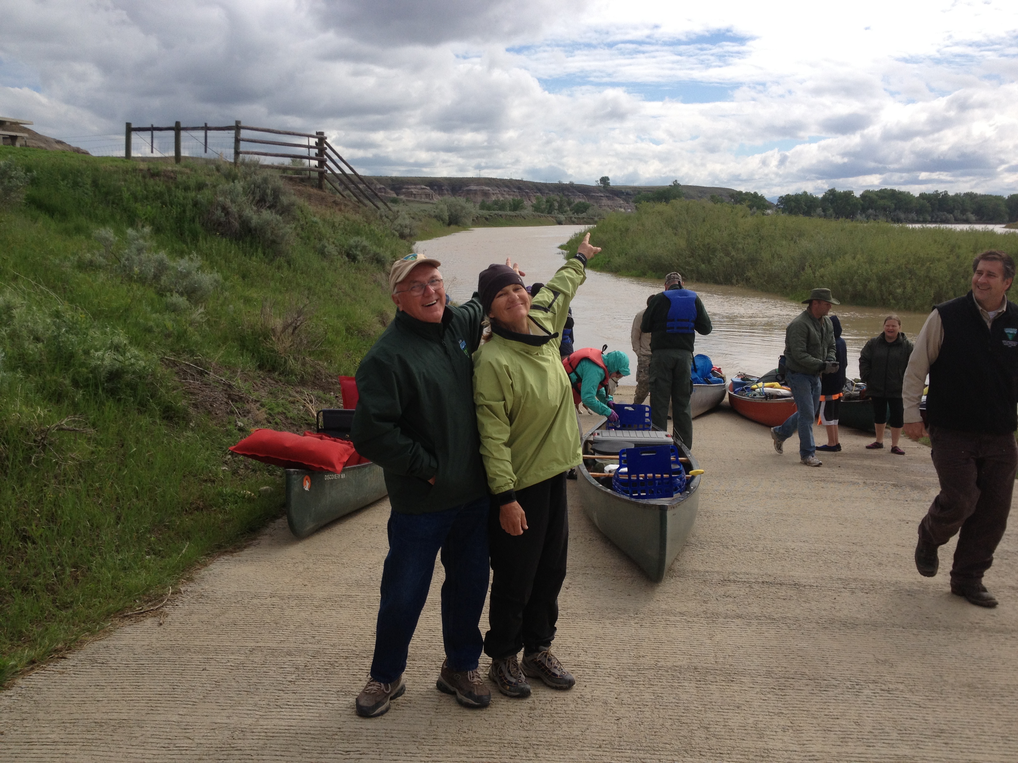
The senior Boy Scouts had come to camp during the rainstorm. The camp hosts, Bub and Tinker Sandy were incredibly accommodating for all of us, letting the boy scouts stay in the visitor’s center, and letting Dominique set up his tent on the porch. By the time the weather let up and we all were ready to launch, we had become friends. Finally, it was time to enter the Upper Missouri River Breaks National Monument, a moment for which I had been waiting a long time.
Onward! Bub and me in excited anticipation for my journey ahead.
Me and the some of the Boy Scouts, and their dads/leaders, from Colorado Springs, Colorado. Great bunch of kids. They will achieve many things among them.
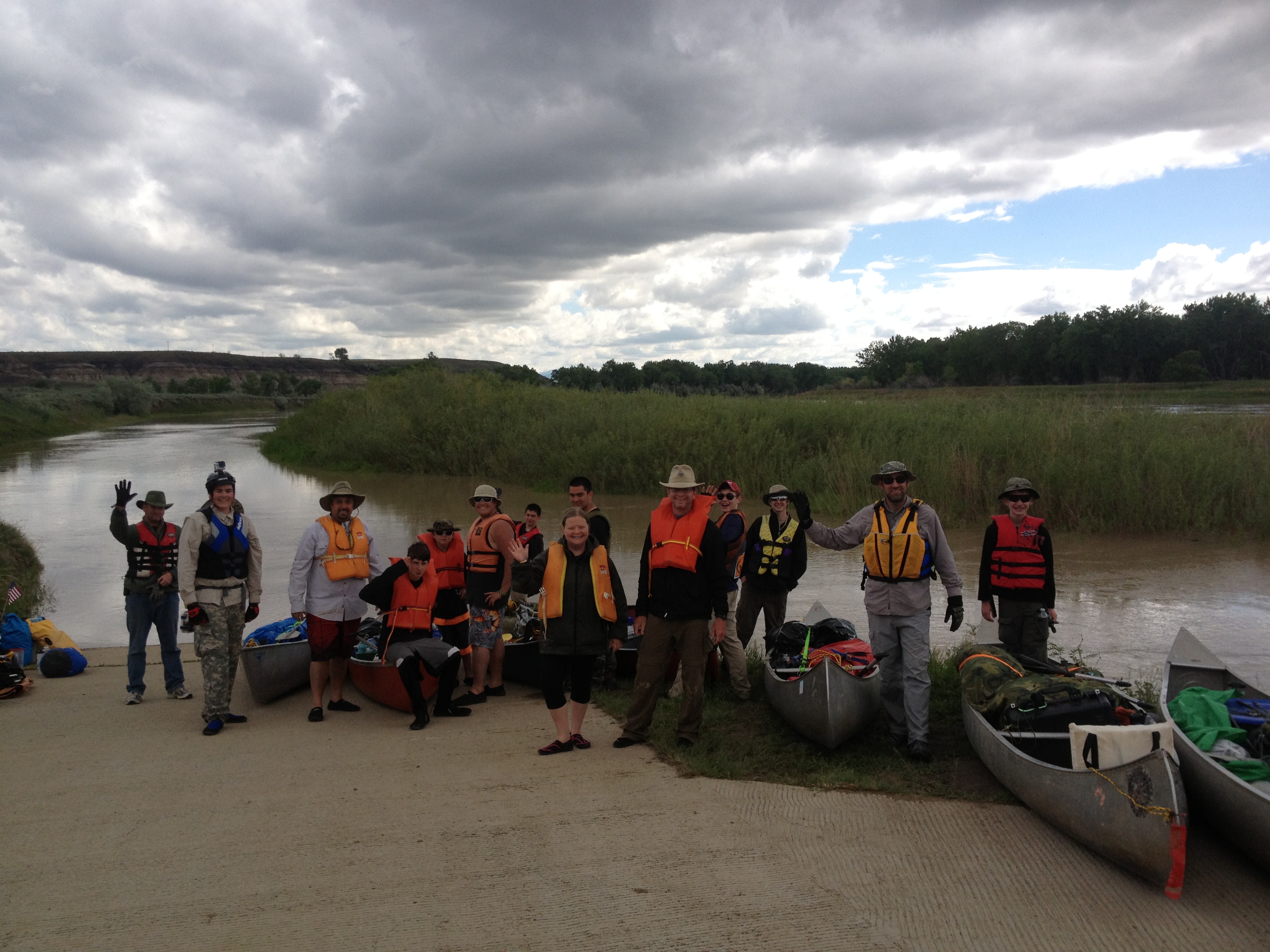
Lots of excited paddlers ready to get on the water!
Onward to the White Cliffs on June 4. I will try and have something posted in the next few days. I have a White Cliffs photo album posted on my Facebook Expedition page, if you want to check that out now.
I apologize for the delay in posts. I’m paddling a 178-mile lake right now, Lake Sakakawea, and a 230-mile lake coming up, Lake Oahe. I am currently at Dakota Waters Resort campground taking a refresh day (shower and laundry), and should be at the dam tomorrow or the next day. Hurray!
Please see my Facebook page, LoveYourBigMuddy Expedition, for current photos and updates. You do not need to have an account to view the page, it is accessible to the public. I can upload straight from my iPhone and it is much easier, however, this blog helps to organize and document the journey. I have not forgotten you!
By Norm Miller, in his own words….continued from Part I
I recently followed a group of young guys paddling down the Mississippi. I don’t think they made it a week before the whole adventure fell apart. I’m not sure why as I don’t know the whole story, but I got the sense that there were many factors from personality conflicts, mental battles of the mind, and lack of “outdoor” experience. For the most part we have lost touch of our hunter gatherer traits. We in today’s society look at modern adventure as a novelty. When in fact just a 150-years ago it was a common thing. We hunted, worked the land, lived a more nomadic lifestyle, our entire day was survival or just getting by. The pioneers on the wagon trains, the early explorers and missionaries, etc., everything they did in the course of their day was what many now think of as hardship. We spend so little time now in the outdoors. If it rains or snows we seek the comforts of our houses never really experiencing nature and missing out on a lot of great things.
Red Rock Lakes National Wildlife Refuge (photo by James N. Perdue)
PLANNING:
The internet has changed everything! There is so much information out now that it shortens the planning by weeks and months. When I began my planning for my 2004-Lewis & Clark redux the internet was fairly new. I spent about 5 -years planning. Now with the help of paddling website, Facebook (“Missouri River Paddlers” site), books and the speed of finding information one can get all they need quickly.
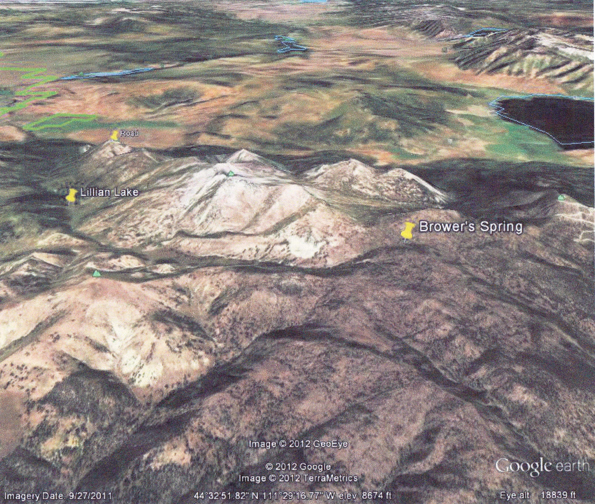
Google Earth 3-D map of Brower’s Spring area. (photo by Janet)
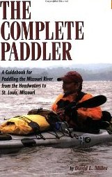
For starters buy David Millers book; The Complete Paddler!!! It is the bible for Mo River paddlers….more information than you can absorb! The book is broken down into 3-parts: The upper, middle and lower river sections, which are basically three different trips in many ways. The book contains a wealth of logistical information including valuable phone numbers, re-supply points, drinking water locations, map info etc., etc. However last year the river experienced a huge flood which destroyed many locations that are mentioned in the book. So this Mo Paddlers FB page probably helps “update” some of that information, with recent paddlers in 2012 blogging about these changes, such as Bob Bellingham and Dom Liboiron, to name two.
Buying maps/charts should be one of the main priorities however in hind site I would feel confident paddling the entire route without a map or at least a Rand McNally road atlas would work. I know paddlers who only used such maps and they were fine. In 2004 I may have went overboard with maps. I used the Corp nautical charts for the lower river….they are awesome and show all 5000+ wing dikes and every mile in DETAIL…which is helpful when paddling upstream, but not as critical when paddling downstream.
Rand McNally Map of Upper Missouri River
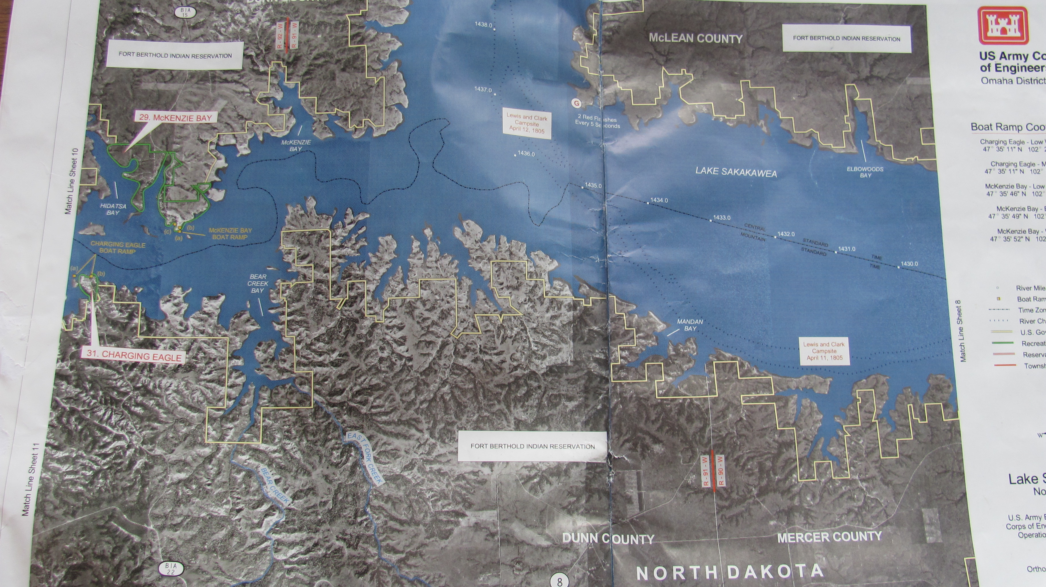
Going upstream I had to stay very close to shore….so this is where the real hazards are located. So knowing all these wing dikes helped me. The Corp maps of the big lakes are good too. Those lakes are huge!!! You can get lost. Some of the bays open up to a 30-mile wide expanse of water and on a flat horizon it is almost impossible to tell where the hell you are at.
Army Corps of Engineers Map – Lake Sakakawea, North Dakota
The Montana section is great…I made copies off of a map program. There are many bends and fast currents in Montana. The maps helped me find camping areas AWAY from people and or private property. I always preferred to stealth camp! During my 200-day trip I camped downtown in St. Charles, Washington, Kansas City, Ft. Yates and nobody knew I was ever there!!! The art of stealth camping is an art form for sure. After 12-17 hours of paddling I was not in the mood to be social most of the time. So being away from people allowed me to do what I needed to do and get the proper rest.
As far as travel speed goes…that depends on the weather and how much you want to paddle. It’s not a race, but some paddlers prefer long long hours and to cover many miles…which is my style. Others are so slow, I have to wonder if walking would not be faster. It’s all a personal issue. However ON AVERAGE…from Three Fork to St. Louis, those that have paddled down the last 8 years have done it in about 90-120 days! That’s a good average. I had a friend in 1981 go from Three Forks to St. Louis in about 30- days!!!! The state of Montana is a huge state with some big bodies of water…in particular Ft. Peck Res. I would allow about a month to get through Montana. The slower you go the better. Why? Montana is beautiful with so many interesting places to check out….why rush? We have the only mountains you will encounter! Montana is very scenic, lots of wildlife, historic unchanged river sections, interesting towns such as Ft. Benton too.
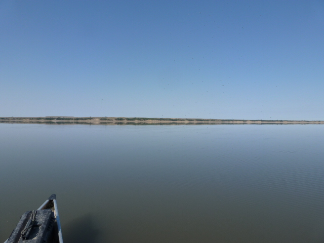
The Dakota’s can be a mental test. You have Lake Sakakawea and Oahe and, boy let me tell you, they can drain you mentally. Expect WIND and …more WIND….then a couple minutes of calm and then more WIND! It also blows in all directions…not just from west to east. The winds can change direction every hour. What I noticed in 2004 was the wind would really start to kick up about 8 am….die down a bit between 11 am and 2pm, then pick up hard from 2pm until the sun set. Once the sun set it is rather calm until morning…sometimes it is like glass on the water. A good time to make up lost miles is paddle in the dark under a full moon when the water is placid. During the day time hours you just have to keep moving whenever there is a break. Sometimes you may have to sit on shore 1/2 hour, 4-hours or all day….just be ready when it abates to jump in your boat and start paddling. I was wind bound 4-days on Oahe without moving an inch. The winds were 40-60 mph and the seas well over 10 feet high.
Lake Sakakawea video by Dom Liboiron
Lake Oahe (Photo by Dom Liboiron)
During those wind bound moments I usually read a book, slept, ate, fixed or cleaned gear or hiked around. Sometimes I would walk the shore for an hour or so to see what I could find. Near Ft. Yates I found a human skull in the sand. It was most likely that of a Native American from centuries ago, which was a cool find.
The Lower River from Yankton to St. Louis is fast moving if you are going downstream. One can paddle 40-80 miles a day through there depending on your energy level and river flows. Watch out for the barges, especially from behind…they can sneak up when the winds blowing and you will never hear them. It’s good to tuck behind a wing dike and let them pass before proceeding on.
FOOD AND WATER:
Don’t expect to filter water!!!! For one thing, there is so much agricultural runoff that you won’t want to drink it for fear for getting sick. Pesticides, herbicides, fertilizers, and toxic pollutants are dumped or flushed into the river daily….my words of wisdom are…..DONT BOTHER. Why do a trip of a lifetime and get sick the first week? Every town, house, marina, store and campground has drinking water. (David Millers book mentions about every possible place to get drinking water.) It’s not a remote trip like it was for Lewis and Clark.
You will encounter plenty of places to obtain water. I carried 4 one-gallon jugs which I filled every couple of days….or whenever I saw a pump I would top them off. I filled water in bars, people’s houses and even the government office buildings attached to the State Capitol of Missouri. One thing to consider is early season such as March-May most campgrounds DO NOT HAVE their pumps working yet so you will have to rely on towns and houses to fill up.
In 2004- I did food drops at post offices. I researched which Post Offices were close to the water and had a box of food mailed there…General Delivery to me. I spent the previous winter dehydrating food and preparing meals so I did not have to always buy from stores. This saved me a lot of money! One thing to consider with the post office drop is the hours of operation for each office. You will have to plan on picking your box up when they are open and make sure you consider that they are closed on weekends and holidays. I ran into this issue in Yankton where my package did not arrive when I got there on Friday…I had to wait until Monday before it opened up.
Here is one of Norm Miller’s re-supply packs from his trip UP the Missouri River.
Many people purchase food along the way. There are plenty of places to do so. However the variety may not be what you want or need. I tell everyone they should carry about 2-weeks at a time. ESPECIALLY the section when leaving Ft. Benton….there is a big gap of NO stores until you get to Wolf Point or Culbertson Mt. The town of Ft. Peck is LIMITED….basically a party store is all you have. That’s fine for some, not for me.
You will also have plenty of opportunities to get food at restaurants or from generous river angles. Just read Bob Bellingham’s blog and you will see that he ate well and drank plenty all from the great people he met along the way. I too had people buy me dinner or make me breakfast along the way.
CANOE OR KAYAK?
I’m not going to get too involved with this topic, but I will mention a few things.
The route has been done in aluminum Grumman Canoes, Home made dug out canoes, high tech kevlar canoes and kayak and everything in between… even a 1000 mile section on SUP boards.
I highly recommend something comfortable!! After all why be miserable sitting from 10-17 hour a day in for two months in something you are not comfortable in? I used a Sea Wind decked canoe built by canoe legend Verlen Kruger who holds many world records in distance paddling including the longest paddle trip ever by anyone…a 2 1/2 year 28,000 miles trip through N. America.
Norm’s Kruger canoe
His boats, in my opinion, are the best solo expedition canoes on the market, as mentioned above…these boats hold THE records of distance travelling. They are strong, comfortable to sit in and hold a lot of gear without having to cram gear into small hatches like you would have in a sea kayak. I am never cramped in my boat. I oft times sat in it for 17-hours without ever get out. I never need to get out and stretch like I have to in a sea kayak. I’m biased on my choice but just make sure you know your boat. COMFORT should be maybe your #1 feature. If you have questions about boats…send me a message and I will go into more detail.
Bob Bellingham in his Shasta, which is now my Shasta, and my ride down the river.
GEAR:
Have a good tent. It will most likely not be any good when you finish. I recommend a NEW one when you start…..not one that you have had for the last 5 years. Think about this, if you are out 90-days…that is like 45 weekends of camping….or nearly 4 summers of camping– ever weekend!!! I went through 2 tents….both were NO good when finished. One was destroyed by a tornado in the Dakotas…my second one…just plain wore out!!!
One TIP with any tent is also a large plastic tarp. I used the tarp almost everyday. I would put the tarp overtop my entire tent many times during a hard rain….to not only keep leaking water out but it kept me entire tent dry, so I never had to pack it away wet. This is very important because if you pack it away wet each day, it never dries out and begins to mold and decay!! A tarp will cover everything you have from getting wet….so always a dry packed boat every day!!
Norm’s tent
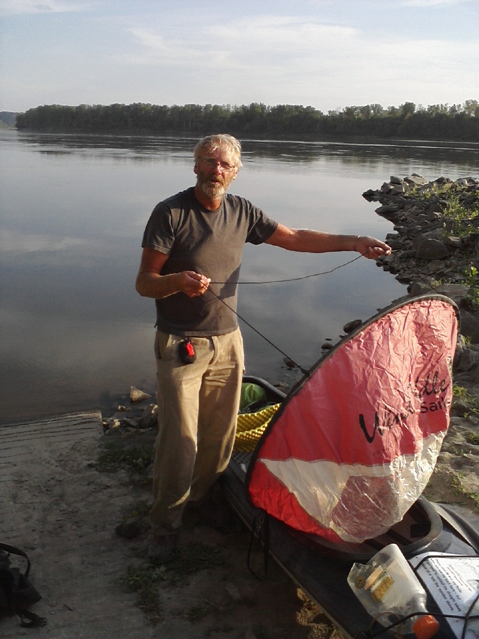
GOOD rain gear is important and I now even bring an umbrella!!! They make great sails and you don’t have to get out of the boat to put rain gear on for a 10-minute rainstorm. Just pull out the umbrella….pop it open, stay dry and put away after the many short rain storms. They make great shade too when in the Dakotas if you happen to be sitting around waiting out the wind….just sit under and enjoy the shade. Believe me there are no trees to block the 100-degree heat in the Dakotas.
Bob Bellingham demonstrating his sail when taking a break at Cooper’s Landing. The sail is now mine.Dom Liboiron using his sail.
One of the best things I brought was a pair of knee-high boots!!! Waterproof is a must. You will encounter a LOT of mud on the lower Mo and I hate wet feet!!! These boots kept me dry and from getting trench foot which can be common if your feet never dry out.
Clothing:
I personally hate to get sunburned. In fact I’ve been burned too many times and go to a dermatologist every 6-months to get pre cancer spots removed. Sun is very damaging, just look at what it does to your tent after a short time….now imagine what it does to your skin. If you plan to paddle or be out in the sun for 3-months then cover up!!! You will get plenty of sun even if you cover up. I hope we as humans have moved beyond the “tan look” vanity thing. The benefits of sun protection are—
You will be less dehydrated and your need to drink water will be less. Don’t forget even though you are on a river, the availability of clean drinking water is not that common. SO by covering your body, you won’t require as much water and you will be less fatigued. I am amazed how many people paddle with no hat, short sleeve shirts and shorts! A 100-day trip with 10 hours of sun exposure each day adds up to 1000 hours! If you were to take two apples, one whole, the other peeled, the one that is peeled will dry up 10-times faster than the one that is unpeeled. So think of your clothing as an apple peeling! One of the first rules in desert survival is to put cloths ON! You never see Middle Eastern cultures or people wearing shorts and t-shirts do you? They are sometimes covered head to toe, long shirts, pants, etc., etc. I wear long sleeves and long pants, a brimmed hat, a handkerchief around my neck and gloves to protect myself from the sun. I also use 75 to 100 SPF sunscreen at all times. It makes your paddling more comfortable when you are not fried!!
A TYPICAL DAY:
Not sure there is a typical day, but at times they can be very repetitive. You may awake before the sun and start paddling before the wind begins….say 6-8 a.m. each day…..so you at least get a couple hours of paddling in before the wind starts. I was so comfortable being in my boat that I would oft time be in it for as much as 17-hours without ever getting out…even to go to the bathroom….which I did in a pee-bottle! When I wanted to eat/snack I would just stop paddling and dig into my lunch/food bag that I kept close by. If I was wind bound I would try and find shade. Sometimes I set up my tent in order to have shade or use and umbrella. Other times I would walk around and explore the countryside or go into a town, grab a burger or even do laundry. Wind bound moments was when I would use my solar rechargers. I carried two solar panels for my satellite phone, camera and laptop, which I carried.
Your hot showers may be weeks apart, same with your laundry. I wore the same cloths almost everyday! You can periodically rinse them out in the river which also helps cool you down. A daily dip in the river is great for you.
Norm Miller Campsite from his Lewis and Clark Bicentennial paddle UP the Missouri River-2004
Expect temperatures near 100F often through eastern Montana and the Dakotas. It’s very uncomfortable paddling, just keep plugging along! I would stop for the evening ONLY when the sun dropped below the horizon. I would then pull over right where I was at….and sometimes it was a stealth camp. Once the sun dropped below the horizon I would have about 1-hour before it was too dark to see. This hour of twilight allowed me to set up camp, cook, clean up, and update a blog….all without needing a head lamp. This method allowed me to go without a headlamp for all but about 2 hours in 6 months time! I was plenty tired after that and would fall immediately to sleep and usually not even wake the entire night. The following day was then repeated. Get use to being uncomfortable, hot, wet, smelly, soar, irritated, hungry, wind burned, and parched, yet happy as a clam!
Tom and Tyler from Great Falls, MT. Paddled from Great Falls to New Orleans.
I would typically look over my maps each night and try to imagine the next day’s terrain ahead. I would plan a “route” that took into consideration the wind directions I anticipated. Since I did not carry a weather radio I would often ask fishermen along the way if they heard of the weather forecast. When doing so, realize you will get 20-different answers for 20 different people. I would then compile all the info and then used deductive reasoning to come up with my own forecast. Same goes for “river conditions”!!!
Most people you meet will NOT BE CANOERS OR KAYAKERS, so they have NO clue as to what you require or your ability. TAKE ALL THEIR INFO with a grain of salt! Bob Bellingham told me he talked to some fishermen in North Dakota who told him upon he telling them that he was paddling to St. Louis….their response was, “YOU better check your maps, because this river doesn’t go to St. Louis!” Can you believe that!! I too had a similar situation whereas someone told me that Lewis & Clark didn’t pass through here. Writer Edward Abby is quoted as saying that “the reservoir fisherman is the lowest form of life on earth.” Well, I hate to say this but it sure is a different culture for sure.
SAFTEY: Be street smart and level headed. You are not in a race. It only takes one hair raising moment to put you in your place. Typically EVERY first time Thru-Paddler gets cocky and takes too big of risk especially at open water crossings….usually the first reservoir of Peck. You will get half way across and the wind will begin to blow and create huge waves. Be smart, not stupid!
Your biggest concern, besides the weather, is humans! The most dangerous thing you may encounter will be man. I prefer to camp away from people, away from campgrounds or anywhere where there is road access and potential for a lot of beer drinking. Dead end roads at the rivers edge are a mecca for high-school kids on Friday night to have huge parties. Find those little hide-a-ways tucked along the shores of the reservoirs or in the trees along the river. You will have plenty of social opportunities if you need that. I personally am more of an introvert and seek out the stealth and remote camps.
Norm Miller Stealth Camping
It’s good to check-in each night if you have a cell phone or SPOT beacon. This saves a lot of worrying on the home front. It also gives a reference point if you get hurt the following day as to where your last check-point was. Your friends and family back home will be concerned, so be considerate of them and let them know. There are some big gaps in cell-coverage especially in Montana. You may go a week or more. I don’t recommend Cellular One as a service. They suck!!! Mark Kalch had a C.O. phone and could not use it for almost 6 weeks! In 2004 I used a Satellite phone which has coverage anywhere.
As far as your personal safety, you have more of a worry if you are solo than if paddling with a partner. I recommend a can of Bear-Spray over a gun, but that is another topic I don’t care to get into. Just be smart and listen to your gut feelings. Be aware and observant.
I’m sure I forgot a lot but this will give you an idea what is involved in paddling from Montana to St. Louis. Everyone is different. It’s best to create your own experience using the skills and knowledge passed along by others. They have a lot of good information. I highly recommend contacting the Through-Paddlers on this face-book site and ask them as many questions as you can think of. I’m just 1-mans experience. The things that worked for me may not work for you and visa-versa. One thing that is very important is to be adaptive and able to adjust to your changing conditions…either daily or hourly.
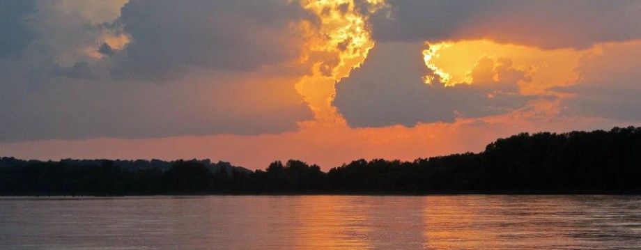
Sunset on the Lower Missouri River (Photo by Jonathan Lauten)